

Sonnige Sonntagstour
A cycling route starting in Mötzingen, Baden-Wurttemberg, Germany.
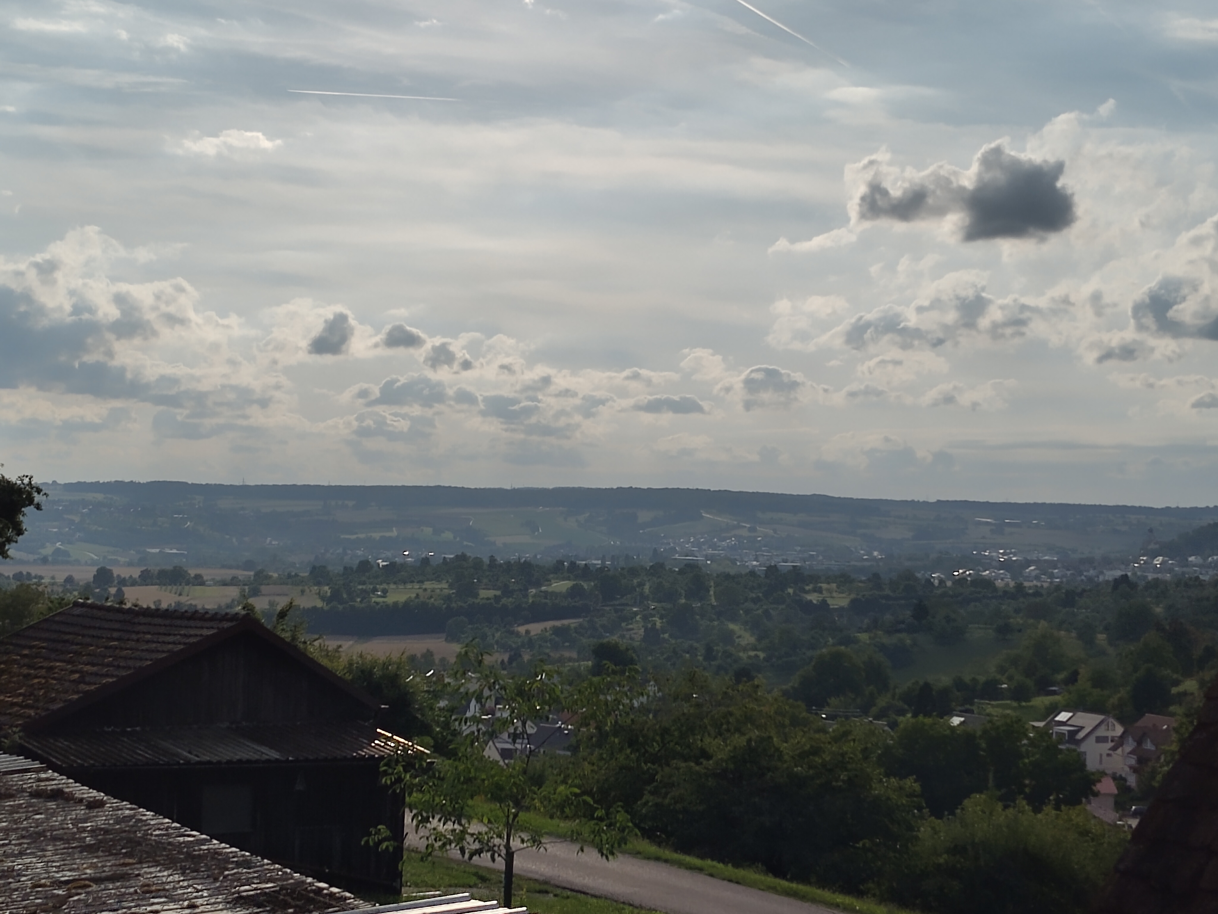
Overview
About this route
Mostly asphalt, only in the area of Schlosserges gravel and forest paths.
Partially very steep climbs.
(Almost) Always on the sunny south side.
- -:--
- Duration
- 30.7 km
- Distance
- 522 m
- Ascent
- 525 m
- Descent
- ---
- Avg. speed
- ---
- Max. altitude

Continue with Bikemap
Use, edit, or download this cycling route
You would like to ride Sonnige Sonntagstour or customize it for your own trip? Here is what you can do with this Bikemap route:
Free features
- Save this route as favorite or in collections
- Copy & plan your own version of this route
- Sync your route with Garmin or Wahoo
Premium features
Free trial for 3 days, or one-time payment. More about Bikemap Premium.
- Navigate this route on iOS & Android
- Export a GPX / KML file of this route
- Create your custom printout (try it for free)
- Download this route for offline navigation
Discover more Premium features.
Get Bikemap PremiumFrom our community
Other popular routes starting in Mötzingen
 (planned) Neckar-Tal - Kloster Kirchberg - Neckar- Eyach-Tal
- Distance
- 109.3 km
- Ascent
- 898 m
- Descent
- 899 m
- Location
- Mötzingen, Baden-Wurttemberg, Germany
 TÜ Bebenhausen Entringen
- Distance
- 55.4 km
- Ascent
- 479 m
- Descent
- 475 m
- Location
- Mötzingen, Baden-Wurttemberg, Germany
 Kochhartgraben - Kirchheim Teck
- Distance
- 65.2 km
- Ascent
- 586 m
- Descent
- 879 m
- Location
- Mötzingen, Baden-Wurttemberg, Germany
 2014 Mötzingen - Blieskastel-Bierbach (Brücke Iffezheim)
- Distance
- 207.9 km
- Ascent
- 667 m
- Descent
- 977 m
- Location
- Mötzingen, Baden-Wurttemberg, Germany
 2022 Glatt-Neckar-Tal - Kloster Kirchberg - Eyach-Tal
- Distance
- 108.4 km
- Ascent
- 1,710 m
- Descent
- 1,710 m
- Location
- Mötzingen, Baden-Wurttemberg, Germany
 Sonnige Sonntagstour
- Distance
- 30.7 km
- Ascent
- 522 m
- Descent
- 525 m
- Location
- Mötzingen, Baden-Wurttemberg, Germany
 Warmfahrrunde
- Distance
- 14.3 km
- Ascent
- 139 m
- Descent
- 143 m
- Location
- Mötzingen, Baden-Wurttemberg, Germany
 Von Moetzingen zur Burg Hohenzollern 37km
- Distance
- 36.6 km
- Ascent
- 397 m
- Descent
- 273 m
- Location
- Mötzingen, Baden-Wurttemberg, Germany
Open it in the app