

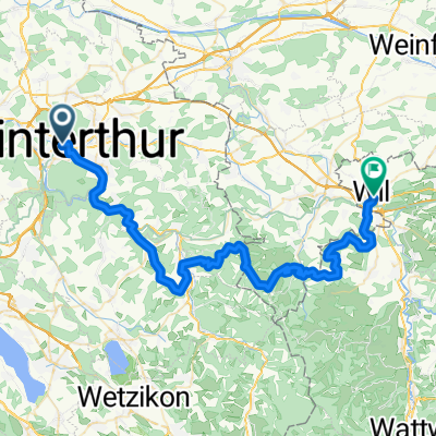
Winti-Fehraltorf-Winti
A cycling route starting in Stadt Winterthur (Kreis 1) / Altstadt, Canton of Zurich, Switzerland.
Overview
About this route
Short evening ride
- -:--
- Duration
- 32.1 km
- Distance
- 271 m
- Ascent
- 270 m
- Descent
- ---
- Avg. speed
- ---
- Max. altitude
Route quality
Waytypes & surfaces along the route
Waytypes
Path
7.4 km
(23 %)
Road
5.1 km
(16 %)
Surfaces
Paved
29.8 km
(93 %)
Unpaved
1.3 km
(4 %)
Asphalt
28.9 km
(90 %)
Gravel
1 km
(3 %)
Continue with Bikemap
Use, edit, or download this cycling route
You would like to ride Winti-Fehraltorf-Winti or customize it for your own trip? Here is what you can do with this Bikemap route:
Free features
- Save this route as favorite or in collections
- Copy & plan your own version of this route
- Sync your route with Garmin or Wahoo
Premium features
Free trial for 3 days, or one-time payment. More about Bikemap Premium.
- Navigate this route on iOS & Android
- Export a GPX / KML file of this route
- Create your custom printout (try it for free)
- Download this route for offline navigation
Discover more Premium features.
Get Bikemap PremiumFrom our community
Other popular routes starting in Stadt Winterthur (Kreis 1) / Altstadt
 26-101 Herzschlaufe 999/1
- Distance
- 55 km
- Ascent
- 1,714 m
- Descent
- 1,586 m
- Location
- Stadt Winterthur (Kreis 1) / Altstadt, Canton of Zurich, Switzerland
 Stadt Winterthur (Kreis 1) / Altstadt - St. Gallen (1/2)
- Distance
- 38 km
- Ascent
- 655 m
- Descent
- 527 m
- Location
- Stadt Winterthur (Kreis 1) / Altstadt, Canton of Zurich, Switzerland
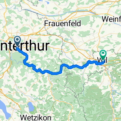
 Winti-Fehraltorf-Winti
- Distance
- 32.1 km
- Ascent
- 271 m
- Descent
- 270 m
- Location
- Stadt Winterthur (Kreis 1) / Altstadt, Canton of Zurich, Switzerland
 Säntisclassic von Winti
- Distance
- 159.6 km
- Ascent
- 1,430 m
- Descent
- 1,431 m
- Location
- Stadt Winterthur (Kreis 1) / Altstadt, Canton of Zurich, Switzerland
 winti Zürich
- Distance
- 26.4 km
- Ascent
- 324 m
- Descent
- 354 m
- Location
- Stadt Winterthur (Kreis 1) / Altstadt, Canton of Zurich, Switzerland
 Winti nach Töss Wasserfall Buri
- Distance
- 33.7 km
- Ascent
- 520 m
- Descent
- 206 m
- Location
- Stadt Winterthur (Kreis 1) / Altstadt, Canton of Zurich, Switzerland
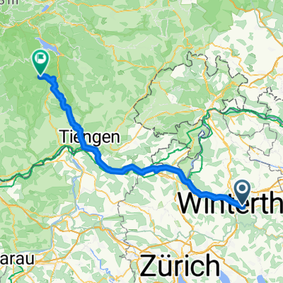 Bahnhofplatz nach St.Blasien
- Distance
- 71.4 km
- Ascent
- 1,378 m
- Descent
- 1,026 m
- Location
- Stadt Winterthur (Kreis 1) / Altstadt, Canton of Zurich, Switzerland
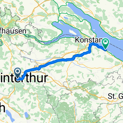 Winterthur nach Altnau
- Distance
- 55.2 km
- Ascent
- 527 m
- Descent
- 555 m
- Location
- Stadt Winterthur (Kreis 1) / Altstadt, Canton of Zurich, Switzerland
Open it in the app