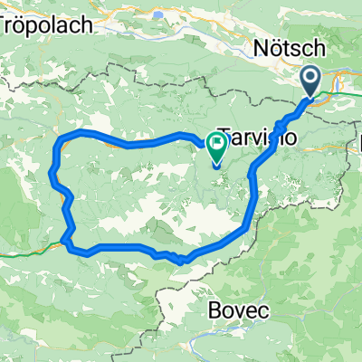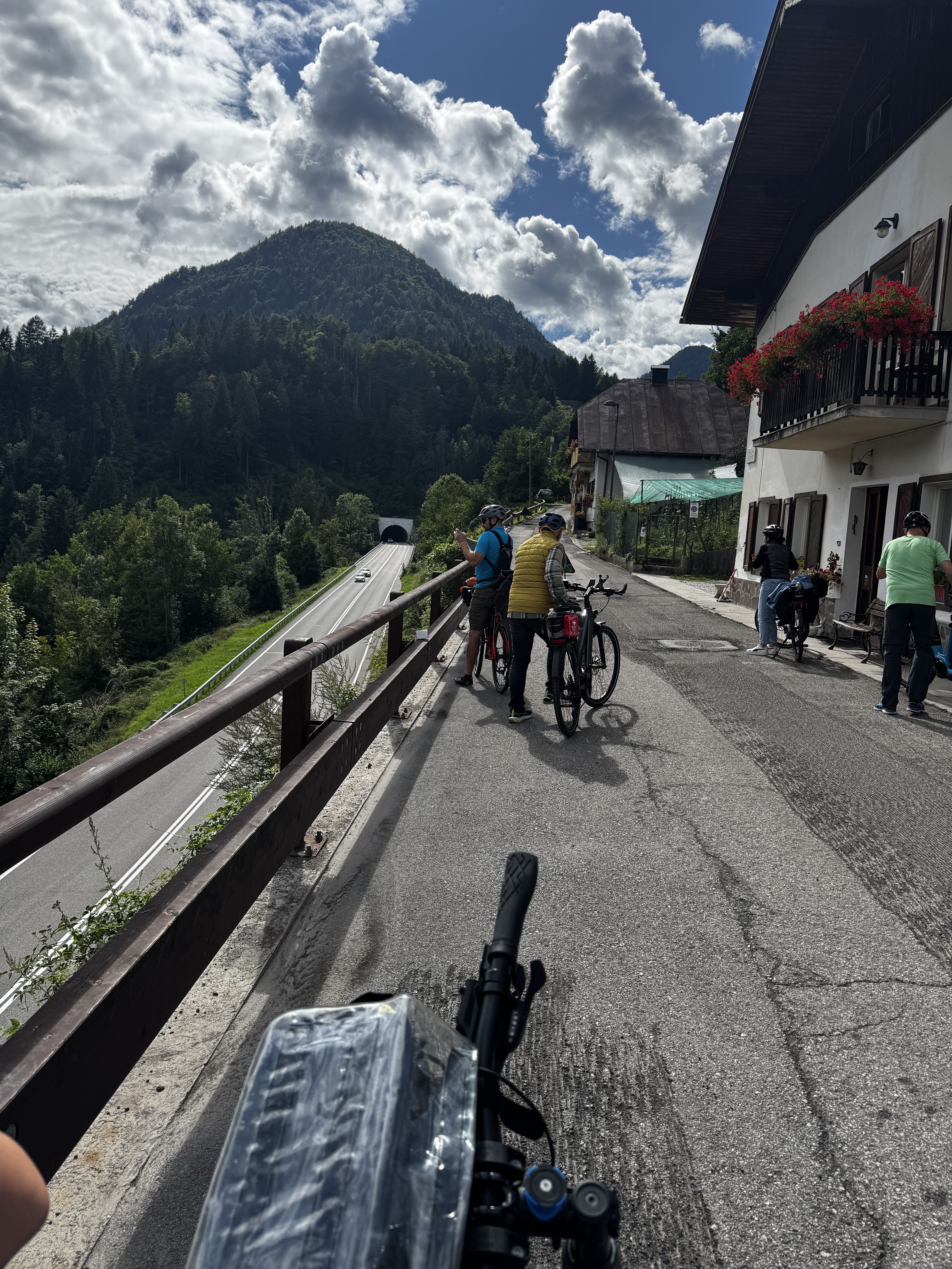
Tarvisio do Via Valcanale, Tarvisio
- 11.6 km
- 167 m
- 62 m
- Hohenthurn, Carinthia, Austria
A cycling route starting in Hohenthurn, Carinthia, Austria.
Overview
Track imported from Astrid Hainz Achomitzer_Alm.gpx
created this 3 years ago
Route quality
Track
17.4 km
(44 %)
Cycleway
9.9 km
(25 %)
Paved
18.2 km
(46 %)
Unpaved
15.8 km
(40 %)
Asphalt
18.2 km
(46 %)
Gravel
12.7 km
(32 %)
Continue with Bikemap
You would like to ride MTB-Berg/Trail IMPORT: Bartolosattel-Achomitzer Alm or customize it for your own trip? Here is what you can do with this Bikemap route:
Free trial for 3 days, or one-time payment. More about Bikemap Premium.
Discover more Premium features.
Get Bikemap PremiumFrom our community
Open it in the app