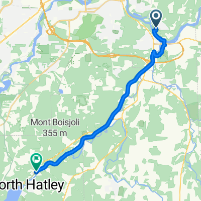
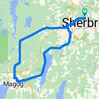
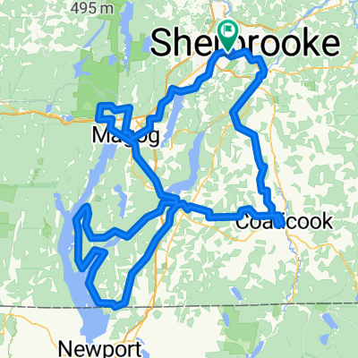
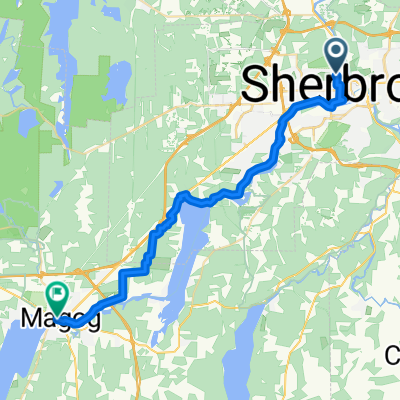
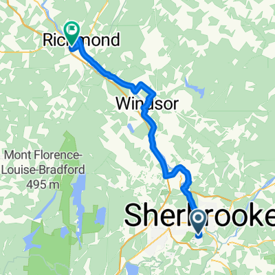
Véloroute des Grandes Fourches
A cycling route starting in Sherbrooke, Quebec, Canada.
Overview
About this route
counterclockwise
- -:--
- Duration
- 65.5 km
- Distance
- 543 m
- Ascent
- 543 m
- Descent
- ---
- Avg. speed
- 317 m
- Max. altitude
Route quality
Waytypes & surfaces along the route
Waytypes
Cycleway
36.1 km
(55 %)
Quiet road
15.7 km
(24 %)
Surfaces
Paved
41.3 km
(63 %)
Unpaved
21.6 km
(33 %)
Asphalt
32.1 km
(49 %)
Gravel
12.5 km
(19 %)
Route highlights
Points of interest along the route
Point of interest after 21.1 km
Casse-croûte Casa Wippi
Point of interest after 37.4 km
Restauration
Point of interest after 60.4 km
Halte des nations
Continue with Bikemap
Use, edit, or download this cycling route
You would like to ride Véloroute des Grandes Fourches or customize it for your own trip? Here is what you can do with this Bikemap route:
Free features
- Save this route as favorite or in collections
- Copy & plan your own version of this route
- Sync your route with Garmin or Wahoo
Premium features
Free trial for 3 days, or one-time payment. More about Bikemap Premium.
- Navigate this route on iOS & Android
- Export a GPX / KML file of this route
- Create your custom printout (try it for free)
- Download this route for offline navigation
Discover more Premium features.
Get Bikemap PremiumFrom our community
Other popular routes starting in Sherbrooke
- Véloroute des Grandes Fourches
- Distance
- 65.5 km
- Ascent
- 543 m
- Descent
- 543 m
- Location
- Sherbrooke, Quebec, Canada
- Sherbrooke-Saint Denis-Saint-Élie-Sherb
- Distance
- 52.7 km
- Ascent
- 403 m
- Descent
- 402 m
- Location
- Sherbrooke, Quebec, Canada
- Boucle brompton
- Distance
- 28 km
- Ascent
- 214 m
- Descent
- 204 m
- Location
- Sherbrooke, Quebec, Canada
- 35 km
- Distance
- 29.2 km
- Ascent
- 270 m
- Descent
- 272 m
- Location
- Sherbrooke, Quebec, Canada
- tour de la rivière
- Distance
- 15.7 km
- Ascent
- 147 m
- Descent
- 148 m
- Location
- Sherbrooke, Quebec, Canada
- parc blanchard
- Distance
- 9.9 km
- Ascent
- 167 m
- Descent
- 168 m
- Location
- Sherbrooke, Quebec, Canada
- boucle dejeuner north hatley
- Distance
- 54.4 km
- Ascent
- 1,096 m
- Descent
- 1,096 m
- Location
- Sherbrooke, Quebec, Canada
- Boucle : Sherbrooke, North Hatley, Lennoxville
- Distance
- 50.6 km
- Ascent
- 434 m
- Descent
- 431 m
- Location
- Sherbrooke, Quebec, Canada
Open it in the app