
Overview
About this route
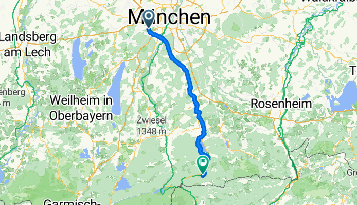
Die erste Etappe führt uns durch strömenden Regen von München an den Alpenrand.
- 8 h 39 min
- Duration
- 76.7 km
- Distance
- 545 m
- Ascent
- 241 m
- Descent
- 8.9 km/h
- Avg. speed
- 853 m
- Max. altitude

Part of
München Venezia - Track
7 stages
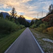
Route photos

Route quality
Waytypes & surfaces along the route
Waytypes
Quiet road
29.1 km
(38 %)
Track
18.4 km
(24 %)
Surfaces
Paved
62.9 km
(82 %)
Unpaved
10.7 km
(14 %)
Asphalt
61.4 km
(80 %)
Gravel
10 km
(13 %)
Continue with Bikemap
Use, edit, or download this cycling route
You would like to ride Zum Tegernsee or customize it for your own trip? Here is what you can do with this Bikemap route:
Free features
- Save this route as favorite or in collections
- Copy & plan your own version of this route
- Sync your route with Garmin or Wahoo
Premium features
Free trial for 3 days, or one-time payment. More about Bikemap Premium.
- Navigate this route on iOS & Android
- Export a GPX / KML file of this route
- Create your custom printout (try it for free)
- Download this route for offline navigation
Discover more Premium features.
Get Bikemap PremiumFrom our community
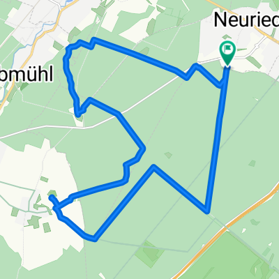
Other popular routes starting in Neuried
 Gemütliche Route in
- Distance
- 16 km
- Ascent
- 49 m
- Descent
- 48 m
- Location
- Neuried, Bavaria, Germany
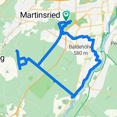
- Zum Tegernsee
- Distance
- 76.7 km
- Ascent
- 545 m
- Descent
- 241 m
- Location
- Neuried, Bavaria, Germany
 Marchioninistraße, München nach Aventinstraße, München
- Distance
- 13.3 km
- Ascent
- 82 m
- Descent
- 118 m
- Location
- Neuried, Bavaria, Germany
 Forstenrieder Park: Neuried - Keltenschanze Buchendorf - Forsthaus Kasten
- Distance
- 18 km
- Ascent
- 118 m
- Descent
- 117 m
- Location
- Neuried, Bavaria, Germany
 München-Forsthaus Kasten-Buchenhain-Waldwirtschaft
- Distance
- 36.7 km
- Ascent
- 274 m
- Descent
- 271 m
- Location
- Neuried, Bavaria, Germany
 Neuried 1
- Distance
- 11.8 km
- Ascent
- 19 m
- Descent
- 19 m
- Location
- Neuried, Bavaria, Germany
 Harras - Herrsching/Ammersee
- Distance
- 35.5 km
- Ascent
- 209 m
- Descent
- 215 m
- Location
- Neuried, Bavaria, Germany
 TSV_2016_04_18_Ersatztour
- Distance
- 51.7 km
- Ascent
- 271 m
- Descent
- 271 m
- Location
- Neuried, Bavaria, Germany
Open it in the app