
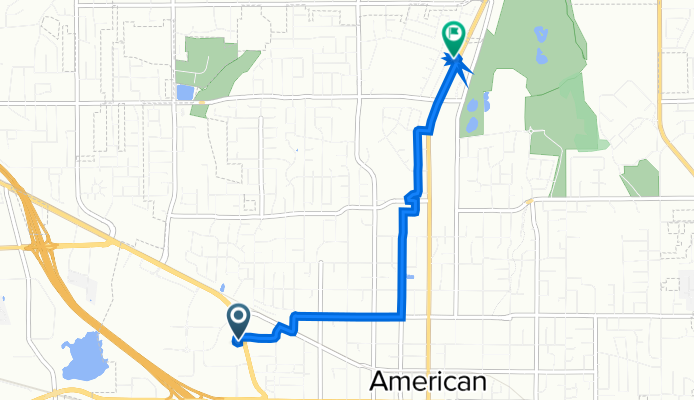
183 N West State St, American Fork to 1263 N 100 E, American Fork
A cycling route starting in American Fork, Utah, United States.
Overview
About this route
- 26 min
- Duration
- 4.3 km
- Distance
- 96 m
- Ascent
- 24 m
- Descent
- 10.1 km/h
- Avg. speed
- 1,465 m
- Max. altitude

Route quality
Waytypes & surfaces along the route
Waytypes
Road
1.7 km
(39 %)
Quiet road
0.9 km
(22 %)
Surfaces
Paved
2.2 km
(51 %)
Asphalt
2.1 km
(50 %)
Paved (undefined)
0 km
(1 %)
Undefined
2.1 km
(49 %)
Continue with Bikemap
Use, edit, or download this cycling route
You would like to ride 183 N West State St, American Fork to 1263 N 100 E, American Fork or customize it for your own trip? Here is what you can do with this Bikemap route:
Free features
- Save this route as favorite or in collections
- Copy & plan your own version of this route
- Sync your route with Garmin or Wahoo
Premium features
Free trial for 3 days, or one-time payment. More about Bikemap Premium.
- Navigate this route on iOS & Android
- Export a GPX / KML file of this route
- Create your custom printout (try it for free)
- Download this route for offline navigation
Discover more Premium features.
Get Bikemap PremiumFrom our community
Other popular routes starting in American Fork
 to the train
- Distance
- 3.6 km
- Ascent
- 14 m
- Descent
- 13 m
- Location
- American Fork, Utah, United States
 W 500 N, American Fork to N 680 W St, American Fork
- Distance
- 36.5 km
- Ascent
- 129 m
- Descent
- 129 m
- Location
- American Fork, Utah, United States
 AF loop
- Distance
- 23.6 km
- Ascent
- 130 m
- Descent
- 127 m
- Location
- American Fork, Utah, United States
 213 N 900 E, American Fork to 213 N 900 E, American Fork
- Distance
- 15 km
- Ascent
- 137 m
- Descent
- 147 m
- Location
- American Fork, Utah, United States
 N 680 W St, American Fork to N 680 W St, American Fork
- Distance
- 47.7 km
- Ascent
- 260 m
- Descent
- 246 m
- Location
- American Fork, Utah, United States
 Home → Target
- Distance
- 3 km
- Ascent
- 3 m
- Descent
- 29 m
- Location
- American Fork, Utah, United States
 272 S 300 E St, American Fork to 239 E State Rd, Pleasant Grove
- Distance
- 6.5 km
- Ascent
- 34 m
- Descent
- 36 m
- Location
- American Fork, Utah, United States
 train to trek
- Distance
- 3.3 km
- Ascent
- 10 m
- Descent
- 0 m
- Location
- American Fork, Utah, United States
Open it in the app