OKKT 2 - Hernád-völgy
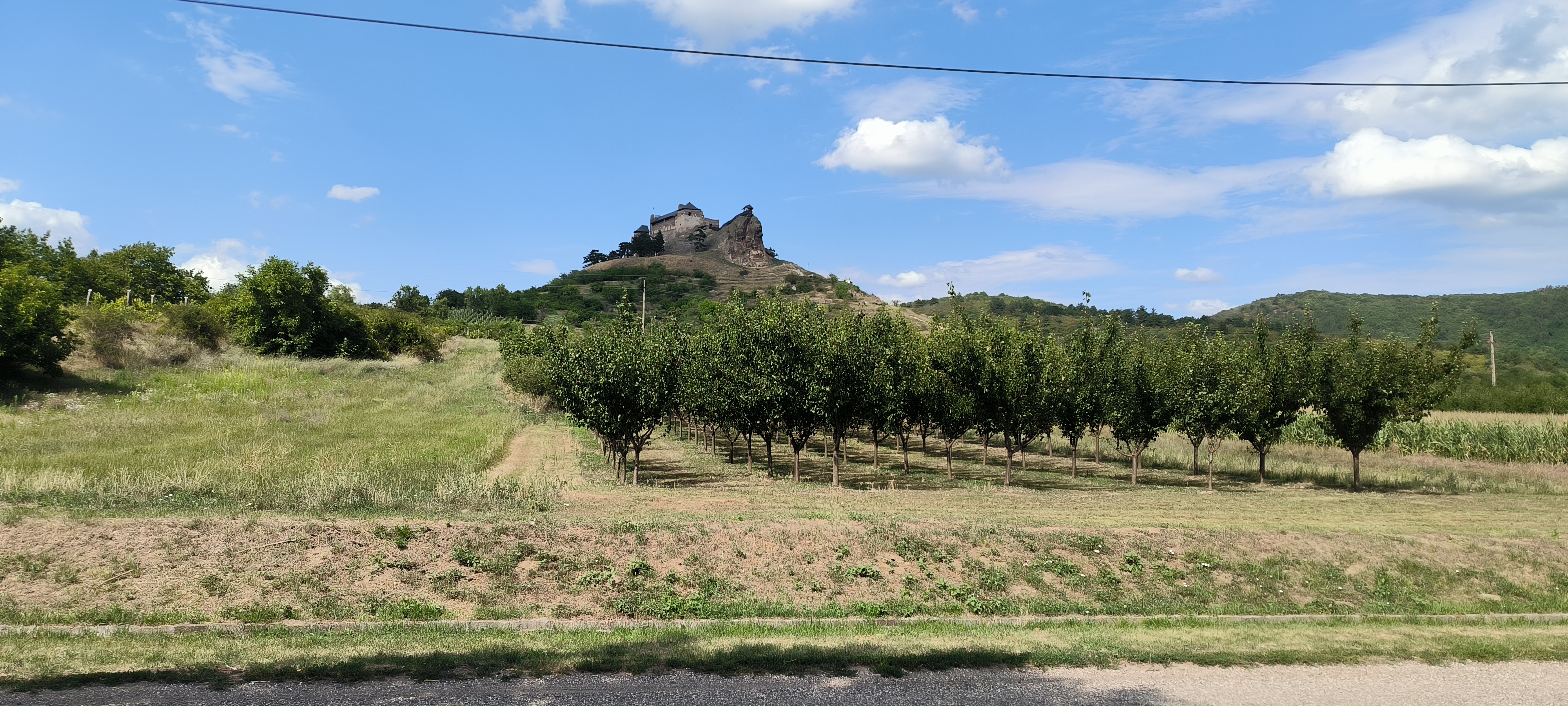
A cycling route starting in Encs, Borsod-Abauj Zemplen county, Hungary.
Overview
About this route
Encs
Vilmány
Encs
- -:--
- Duration
- 71.1 km
- Distance
- 857 m
- Ascent
- 854 m
- Descent
- ---
- Avg. speed
- 609 m
- Max. altitude
Route quality
Waytypes & surfaces along the route
Waytypes
Quiet road
7.1 km
(10 %)
Track
5.7 km
(8 %)
Surfaces
Paved
2.8 km
(4 %)
Unpaved
3.6 km
(5 %)
Asphalt
2.8 km
(4 %)
Ground
2.1 km
(3 %)
Continue with Bikemap
Use, edit, or download this cycling route
You would like to ride OKKT 2 - Hernád-völgy or customize it for your own trip? Here is what you can do with this Bikemap route:
Free features
- Save this route as favorite or in collections
- Copy & plan your own version of this route
- Sync your route with Garmin or Wahoo
Premium features
Free trial for 3 days, or one-time payment. More about Bikemap Premium.
- Navigate this route on iOS & Android
- Export a GPX / KML file of this route
- Create your custom printout (try it for free)
- Download this route for offline navigation
Discover more Premium features.
Get Bikemap PremiumFrom our community
Other popular routes starting in Encs
- Encs-Gönc-Kéked-SK-Eszkáros-Telkibánya-Sátoraljaújhely-Encs
- Distance
- 150.4 km
- Ascent
- 764 m
- Descent
- 761 m
- Location
- Encs, Borsod-Abauj Zemplen county, Hungary
- encs - abaújkér - tolcsva - regéc - fony - abaújkér - encs
- Distance
- 73.5 km
- Ascent
- 538 m
- Descent
- 539 m
- Location
- Encs, Borsod-Abauj Zemplen county, Hungary
- Tour de Mogyoróska 2014
- Distance
- 74.6 km
- Ascent
- 545 m
- Descent
- 546 m
- Location
- Encs, Borsod-Abauj Zemplen county, Hungary
- Encs-Gönc-Telkibánya-Sátoraljaújhely-Regéc-Encs
- Distance
- 134.6 km
- Ascent
- 673 m
- Descent
- 670 m
- Location
- Encs, Borsod-Abauj Zemplen county, Hungary
- Forró-Encs v.á.--Szabolcs--Tarcal
- Distance
- 76 km
- Ascent
- 275 m
- Descent
- 280 m
- Location
- Encs, Borsod-Abauj Zemplen county, Hungary
- OKT Zempléni Kék 1
- Distance
- 19 km
- Ascent
- 530 m
- Descent
- 264 m
- Location
- Encs, Borsod-Abauj Zemplen county, Hungary
- encs - abaújkér - tolcsva - regéc - fony - abaújkér - encs
- Distance
- 73.5 km
- Ascent
- 529 m
- Descent
- 532 m
- Location
- Encs, Borsod-Abauj Zemplen county, Hungary
- OKKT 2 - Kelet-Cserehát
- Distance
- 55.6 km
- Ascent
- 503 m
- Descent
- 504 m
- Location
- Encs, Borsod-Abauj Zemplen county, Hungary
Open it in the app