

Tiszakécske to Szent Imre tér 17., Tiszakécske
A cycling route starting in Tiszakécske, Bács-Kiskun county, Hungary.
Overview
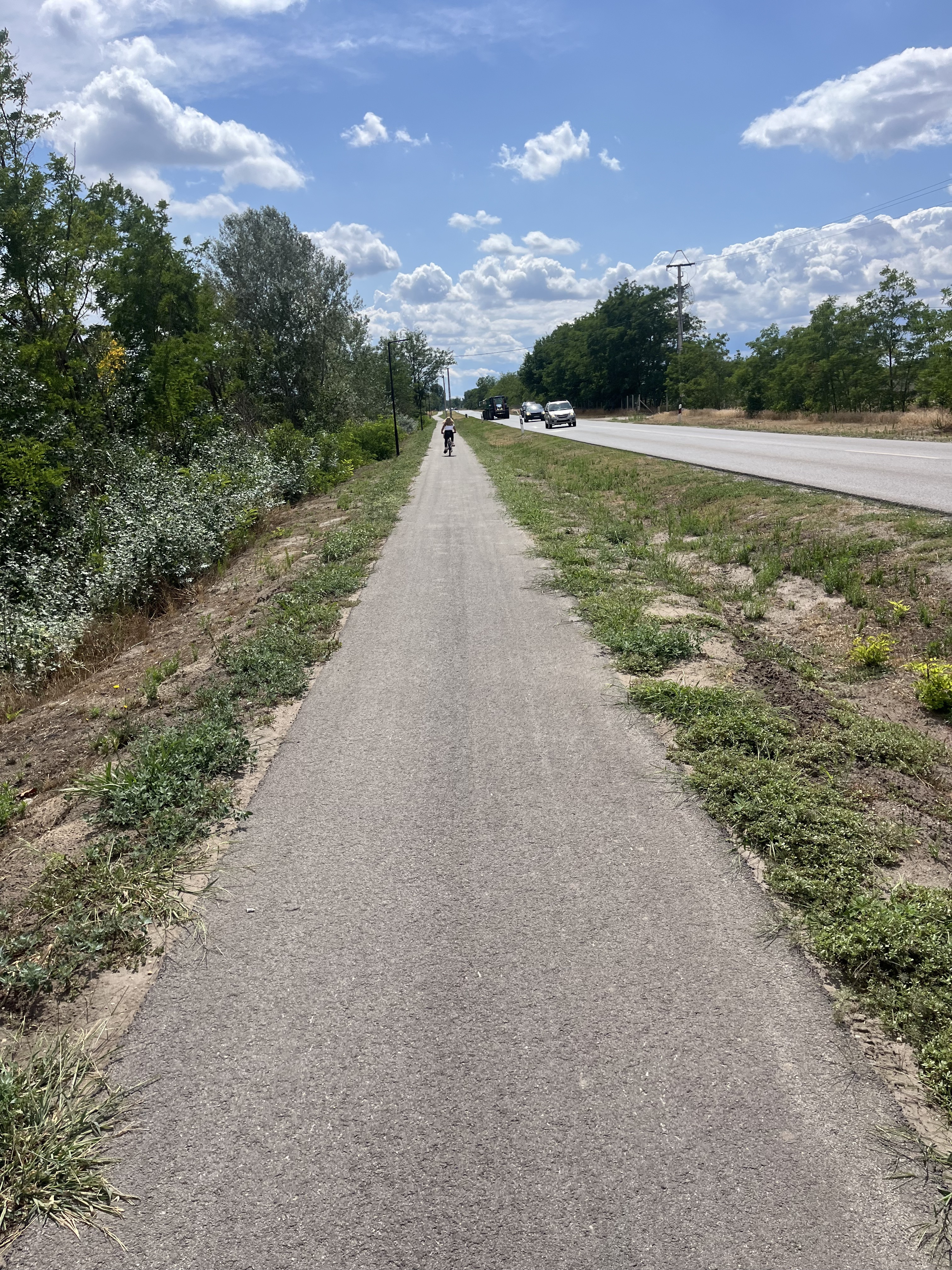
About this route
- 4 h 40 min
- Duration
- 80.3 km
- Distance
- 52 m
- Ascent
- 49 m
- Descent
- 17.2 km/h
- Avg. speed
- 116 m
- Max. altitude

Route quality
Waytypes & surfaces along the route
Waytypes
Busy road
36.4 km
(45 %)
Cycleway
16.2 km
(20 %)
Surfaces
Paved
10.7 km
(13 %)
Asphalt
10 km
(12 %)
Paving stones
0.8 km
(<1 %)
Undefined
69.5 km
(87 %)
Continue with Bikemap
Use, edit, or download this cycling route
You would like to ride Tiszakécske to Szent Imre tér 17., Tiszakécske or customize it for your own trip? Here is what you can do with this Bikemap route:
Free features
- Save this route as favorite or in collections
- Copy & plan your own version of this route
- Split it into stages to create a multi-day tour
- Sync your route with Garmin or Wahoo
Premium features
Free trial for 3 days, or one-time payment. More about Bikemap Premium.
- Navigate this route on iOS & Android
- Export a GPX / KML file of this route
- Create your custom printout (try it for free)
- Download this route for offline navigation
Discover more Premium features.
Get Bikemap PremiumFrom our community
Other popular routes starting in Tiszakécske
 timinek
- Distance
- 49.5 km
- Ascent
- 13 m
- Descent
- 13 m
- Location
- Tiszakécske, Bács-Kiskun county, Hungary
 Fő út, Tiszakécske - Fácános utca, Tiszakécske
- Distance
- 5 km
- Ascent
- 6 m
- Descent
- 4 m
- Location
- Tiszakécske, Bács-Kiskun county, Hungary
 Fő út, Tiszakécske - Kőrösi utca, Tiszakécske
- Distance
- 3.1 km
- Ascent
- 13 m
- Descent
- 13 m
- Location
- Tiszakécske, Bács-Kiskun county, Hungary
 9. Etappe: Tiszakecske - Abadszalok
- Distance
- 114.9 km
- Ascent
- 26 m
- Descent
- 24 m
- Location
- Tiszakécske, Bács-Kiskun county, Hungary
 Rózsabarack tér, Tiszakécske-Rózsabarack tér, Tiszakécske
- Distance
- 53.7 km
- Ascent
- 92 m
- Descent
- 94 m
- Location
- Tiszakécske, Bács-Kiskun county, Hungary
 Tisza-parti Thermal Camping, Tiszakécske - Gólya utca 6, Tiszakécske
- Distance
- 23.9 km
- Ascent
- 48 m
- Descent
- 88 m
- Location
- Tiszakécske, Bács-Kiskun county, Hungary
 Vadász utca 11, Tiszakécske to Tószegi út 22, Szolnok
- Distance
- 32.8 km
- Ascent
- 78 m
- Descent
- 75 m
- Location
- Tiszakécske, Bács-Kiskun county, Hungary
 W4RF+QX, Tiszakécske - Méh-Kov híd, Tiszakécske
- Distance
- 32.4 km
- Ascent
- 68 m
- Descent
- 117 m
- Location
- Tiszakécske, Bács-Kiskun county, Hungary
Open it in the app