

Day#2
A cycling route starting in Yangp'yŏng, Gyeonggi-do, South Korea.
Overview
About this route
959-1 Heungho-ri, Buron-myeon, Wonju-si, Gangwon-do, South Korea
- -:--
- Duration
- 61.5 km
- Distance
- 703 m
- Ascent
- 710 m
- Descent
- ---
- Avg. speed
- 122 m
- Max. altitude
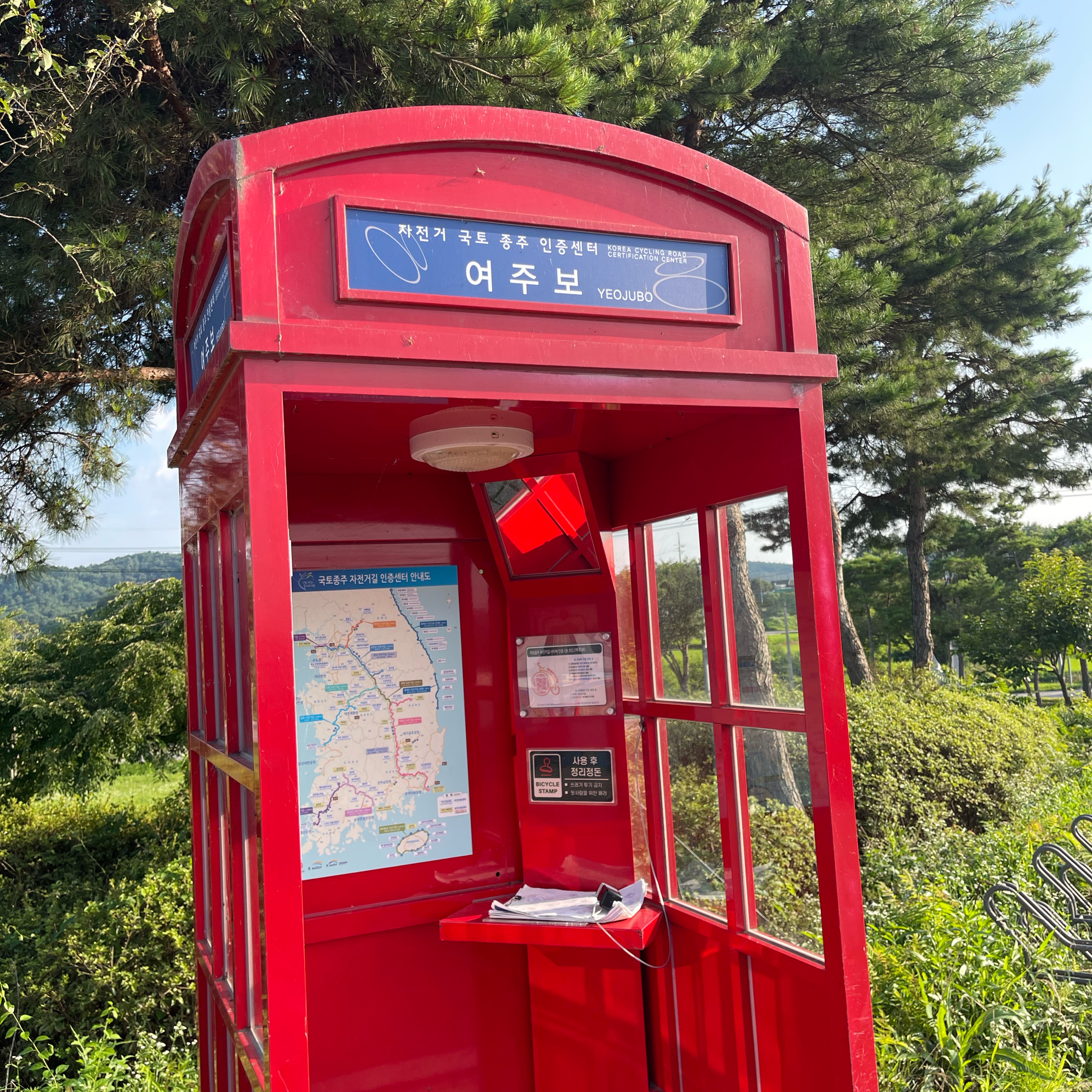
Route photos

Route quality
Waytypes & surfaces along the route
Waytypes
Cycleway
46 km
(75 %)
Quiet road
9.4 km
(15 %)
Surfaces
Paved
57.5 km
(93 %)
Asphalt
53 km
(86 %)
Concrete
2.2 km
(4 %)
Continue with Bikemap
Use, edit, or download this cycling route
You would like to ride Day#2 or customize it for your own trip? Here is what you can do with this Bikemap route:
Free features
- Save this route as favorite or in collections
- Copy & plan your own version of this route
- Sync your route with Garmin or Wahoo
Premium features
Free trial for 3 days, or one-time payment. More about Bikemap Premium.
- Navigate this route on iOS & Android
- Export a GPX / KML file of this route
- Create your custom printout (try it for free)
- Download this route for offline navigation
Discover more Premium features.
Get Bikemap PremiumFrom our community
Other popular routes starting in Yangp'yŏng
 JeePyeong - 88km
- Distance
- 88.5 km
- Ascent
- 849 m
- Descent
- 850 m
- Location
- Yangp'yŏng, Gyeonggi-do, South Korea
 양평-15삼성.화전고개-27용문터널-32용문산 610m
- Distance
- 32.2 km
- Ascent
- 711 m
- Descent
- 526 m
- Location
- Yangp'yŏng, Gyeonggi-do, South Korea
 대곡치이사미
- Distance
- 117.5 km
- Ascent
- 1,320 m
- Descent
- 1,320 m
- Location
- Yangp'yŏng, Gyeonggi-do, South Korea
 Day#2
Day#2- Distance
- 61.5 km
- Ascent
- 703 m
- Descent
- 710 m
- Location
- Yangp'yŏng, Gyeonggi-do, South Korea
 양평-17화전로고개-43백양치(홍천)-62고드래미-72지장구고개-83혈동고개.덕만이고개-94종자터널-110말굽고개-112홍천
- Distance
- 112.4 km
- Ascent
- 2,242 m
- Descent
- 2,153 m
- Location
- Yangp'yŏng, Gyeonggi-do, South Korea
 여양로, 여주시에서 왕대리, 여주시까지
- Distance
- 13.5 km
- Ascent
- 39 m
- Descent
- 32 m
- Location
- Yangp'yŏng, Gyeonggi-do, South Korea
 양서면 496-8 ~ 조안면 285-6
- Distance
- 20.4 km
- Ascent
- 162 m
- Descent
- 187 m
- Location
- Yangp'yŏng, Gyeonggi-do, South Korea
 Day#1
Day#1- Distance
- 77.2 km
- Ascent
- 938 m
- Descent
- 977 m
- Location
- Yangp'yŏng, Gyeonggi-do, South Korea
Open it in the app