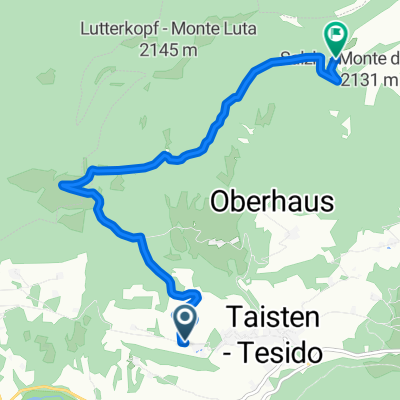
München Venezia - Track
Drei Zinnen und nach Süden
A cycling route starting in Welsberg-Taisten, Trentino-Alto Adige, Italy.
Overview
About this route
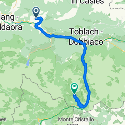
From Toblach we head to our last mountain stage through the Three Peaks Nature Park. Here, many day trippers with e-bikes are heading to Lake Dürrensee, a popular photo spot nearly at the top. After that, it becomes quiet.
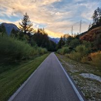
At the highest point, we leave South Tyrol and traverse the most desolate area of the tour. Thanks to our lack of preparation, we have granola bars for lunch. After that, we descend again on an abandoned railway track, but not as well built as at Brenner, instead partly through gravel and rubble.
- 7 h 53 min
- Duration
- 71.8 km
- Distance
- 660 m
- Ascent
- 1,025 m
- Descent
- 9.1 km/h
- Avg. speed
- 1,546 m
- Max. altitude
Part of

7 stages
Route photos
Route quality
Waytypes & surfaces along the route
Waytypes
Cycleway
45.9 km
(64 %)
Road
6.5 km
(9 %)
Surfaces
Paved
49.5 km
(69 %)
Unpaved
20.1 km
(28 %)
Asphalt
48.8 km
(68 %)
Gravel
17.9 km
(25 %)
Continue with Bikemap
Use, edit, or download this cycling route
You would like to ride Drei Zinnen und nach Süden or customize it for your own trip? Here is what you can do with this Bikemap route:
Free features
- Save this route as favorite or in collections
- Copy & plan your own version of this route
- Sync your route with Garmin or Wahoo
Premium features
Free trial for 3 days, or one-time payment. More about Bikemap Premium.
- Navigate this route on iOS & Android
- Export a GPX / KML file of this route
- Create your custom printout (try it for free)
- Download this route for offline navigation
Discover more Premium features.
Get Bikemap PremiumFrom our community
Other popular routes starting in Welsberg-Taisten
- Taisten - Pragser Wildsee
- Distance
- 14.9 km
- Ascent
- 460 m
- Descent
- 263 m
- Location
- Welsberg-Taisten, Trentino-Alto Adige, Italy
- Cortina stÅ™eda pÅ™Ãjezd
- Distance
- 64.6 km
- Ascent
- 1,416 m
- Descent
- 1,415 m
- Location
- Welsberg-Taisten, Trentino-Alto Adige, Italy
- Taistner Vorderalm – Taistner Hinteralm Runde
- Distance
- 21.9 km
- Ascent
- 927 m
- Descent
- 1,055 m
- Location
- Welsberg-Taisten, Trentino-Alto Adige, Italy
- Dolomiti: Monguelfo-St.Vigil-Monguelfo
- Distance
- 88.2 km
- Ascent
- 2,317 m
- Descent
- 2,295 m
- Location
- Welsberg-Taisten, Trentino-Alto Adige, Italy
- 7. Etappe Welsberg Calalzo
- Distance
- 76.8 km
- Ascent
- 510 m
- Descent
- 836 m
- Location
- Welsberg-Taisten, Trentino-Alto Adige, Italy
- My Tesido Gravel Tour
- Distance
- 116 km
- Ascent
- 2,842 m
- Descent
- 2,840 m
- Location
- Welsberg-Taisten, Trentino-Alto Adige, Italy
- Welsberg Bahnhof - Thal-Aue/Assling
- Distance
- 48.4 km
- Ascent
- 181 m
- Descent
- 447 m
- Location
- Welsberg-Taisten, Trentino-Alto Adige, Italy
- 09b--BRAIES
- Distance
- 16.9 km
- Ascent
- 383 m
- Descent
- 384 m
- Location
- Welsberg-Taisten, Trentino-Alto Adige, Italy
Open it in the app