
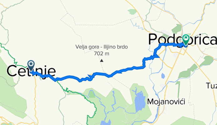
Cetinje - Podgorica
A cycling route starting in Cetinje, Cetinje, Montenegro.
Overview
About this route
Cetinje - Podgorica
- -:--
- Duration
- 37.3 km
- Distance
- 340 m
- Ascent
- 937 m
- Descent
- ---
- Avg. speed
- 697 m
- Avg. speed

Route quality
Waytypes & surfaces along the route
Waytypes
Busy road
20.3 km
(54 %)
Quiet road
14.5 km
(39 %)
Surfaces
Paved
25.2 km
(68 %)
Unpaved
0.1 km
(<1 %)
Asphalt
24.7 km
(66 %)
Paving stones
0.5 km
(1 %)
Continue with Bikemap
Use, edit, or download this cycling route
You would like to ride Cetinje - Podgorica or customize it for your own trip? Here is what you can do with this Bikemap route:
Free features
- Save this route as favorite or in collections
- Copy & plan your own version of this route
- Sync your route with Garmin or Wahoo
Premium features
Free trial for 3 days, or one-time payment. More about Bikemap Premium.
- Navigate this route on iOS & Android
- Export a GPX / KML file of this route
- Create your custom printout (try it for free)
- Download this route for offline navigation
Discover more Premium features.
Get Bikemap PremiumFrom our community
Other popular routes starting in Cetinje
 T9 Cetinje - Dubrovnik
- Distance
- 111.9 km
- Ascent
- 1,930 m
- Descent
- 2,551 m
- Location
- Cetinje, Cetinje, Montenegro
 Cetinje nach Hotel Monte Rosa
- Distance
- 13.5 km
- Ascent
- 600 m
- Descent
- 16 m
- Location
- Cetinje, Cetinje, Montenegro
 Rijeka Crnojevica - Macanov Brijeg
- Distance
- 8.2 km
- Ascent
- 232 m
- Descent
- 104 m
- Location
- Cetinje, Cetinje, Montenegro
 MORE 3 dan verzija A
- Distance
- 75.7 km
- Ascent
- 815 m
- Descent
- 2,327 m
- Location
- Cetinje, Cetinje, Montenegro
 park Lovćen - Perast
- Distance
- 45.2 km
- Ascent
- 510 m
- Descent
- 1,721 m
- Location
- Cetinje, Cetinje, Montenegro
 BC 50 10
- Distance
- 47.9 km
- Ascent
- 1,880 m
- Descent
- 961 m
- Location
- Cetinje, Cetinje, Montenegro
 Albania , miejsca które mnie interesują
- Distance
- 3 km
- Ascent
- 344 m
- Descent
- 208 m
- Location
- Cetinje, Cetinje, Montenegro
 Kongo-Kotor
- Distance
- 33.1 km
- Ascent
- 506 m
- Descent
- 1,308 m
- Location
- Cetinje, Cetinje, Montenegro
Open it in the app