

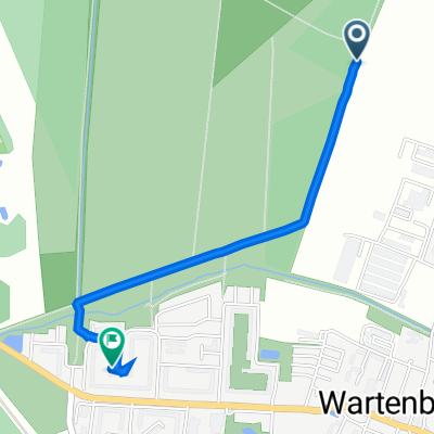
Schweriner Ring 67, Berlin nach Schweriner Ring 69, Berlin
A cycling route starting in Wartenberg, State of Berlin, Germany.
Overview
About this route
- 1 h 34 min
- Duration
- 23.7 km
- Distance
- 63 m
- Ascent
- 65 m
- Descent
- 15.1 km/h
- Avg. speed
- 64 m
- Max. altitude
Route quality
Waytypes & surfaces along the route
Waytypes
Pedestrian area
21.8 km
(92 %)
Quiet road
0.9 km
(4 %)
Access road
0.9 km
(4 %)
Surfaces
Paved
11.4 km
(48 %)
Unpaved
10.9 km
(46 %)
Loose gravel
10.4 km
(44 %)
Asphalt
9.2 km
(39 %)
Continue with Bikemap
Use, edit, or download this cycling route
You would like to ride Schweriner Ring 67, Berlin nach Schweriner Ring 69, Berlin or customize it for your own trip? Here is what you can do with this Bikemap route:
Free features
- Save this route as favorite or in collections
- Copy & plan your own version of this route
- Sync your route with Garmin or Wahoo
Premium features
Free trial for 3 days, or one-time payment. More about Bikemap Premium.
- Navigate this route on iOS & Android
- Export a GPX / KML file of this route
- Create your custom printout (try it for free)
- Download this route for offline navigation
Discover more Premium features.
Get Bikemap PremiumFrom our community
Other popular routes starting in Wartenberg
 Ückeritzer Ring 31a, Berlin nach Ückeritzer Ring 31a, Berlin
- Distance
- 27.1 km
- Ascent
- 84 m
- Descent
- 87 m
- Location
- Wartenberg, State of Berlin, Germany
 Zu Kühne
- Distance
- 11.1 km
- Ascent
- 85 m
- Descent
- 98 m
- Location
- Wartenberg, State of Berlin, Germany
 Gerade Fahrt in Bernau bei Berlin
- Distance
- 57.7 km
- Ascent
- 395 m
- Descent
- 375 m
- Location
- Wartenberg, State of Berlin, Germany
 Schweriner Ring 38, Berlin nach Schweriner Ring 38, Berlin
- Distance
- 37 km
- Ascent
- 129 m
- Descent
- 126 m
- Location
- Wartenberg, State of Berlin, Germany
 Exploring Malchower See
- Distance
- 8.4 km
- Ascent
- 20 m
- Descent
- 24 m
- Location
- Wartenberg, State of Berlin, Germany
 Pappelweg, Berlin nach Hagenower Ring 32, Berlin
- Distance
- 1.6 km
- Ascent
- 7 m
- Descent
- 12 m
- Location
- Wartenberg, State of Berlin, Germany
 Berlin HSH - Bernau - Eberswalde - Bad Freienwalde - Wriezen - Strausberg - Alt Landsberg - Bln HSH 135 Km
- Distance
- 134.6 km
- Ascent
- 303 m
- Descent
- 303 m
- Location
- Wartenberg, State of Berlin, Germany
 Hagenower Ring 32, Berlin nach Hagenower Ring 34, Berlin
- Distance
- 34 km
- Ascent
- 139 m
- Descent
- 139 m
- Location
- Wartenberg, State of Berlin, Germany
Open it in the app