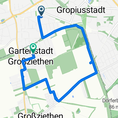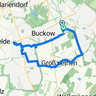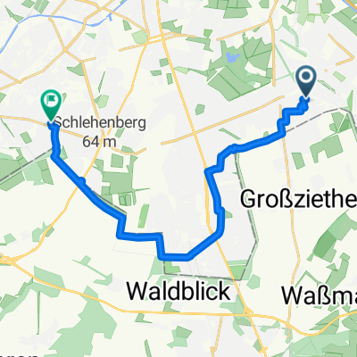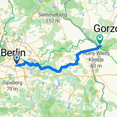
Route nach Küstrin
- 115.9 km
- 299 m
- 329 m
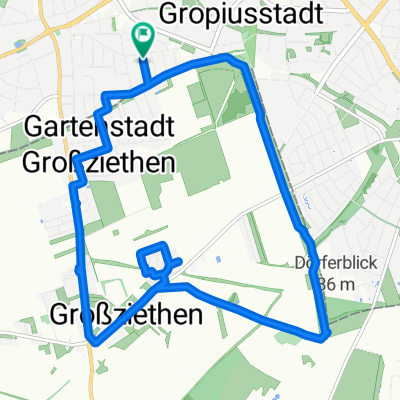
- Gropiusstadt, State of Berlin, Germany
A cycling route starting in Gropiusstadt, State of Berlin, Germany.
Overview
created this 3 years ago
Route quality
Path
7.8 km
(37 %)
Pedestrian area
3.6 km
(17 %)
Paved
13.3 km
(63 %)
Unpaved
1.9 km
(9 %)
Asphalt
13.1 km
(62 %)
Gravel
1.7 km
(8 %)
Continue with Bikemap
You would like to ride Mollnerweg 29, Berlin nach Mollnerweg 29, Berlin or customize it for your own trip? Here is what you can do with this Bikemap route:
Free trial for 3 days, or one-time payment. More about Bikemap Premium.
Discover more Premium features.
Get Bikemap PremiumFrom our community
Open it in the app