

DOLOMITY 2022-E2_run
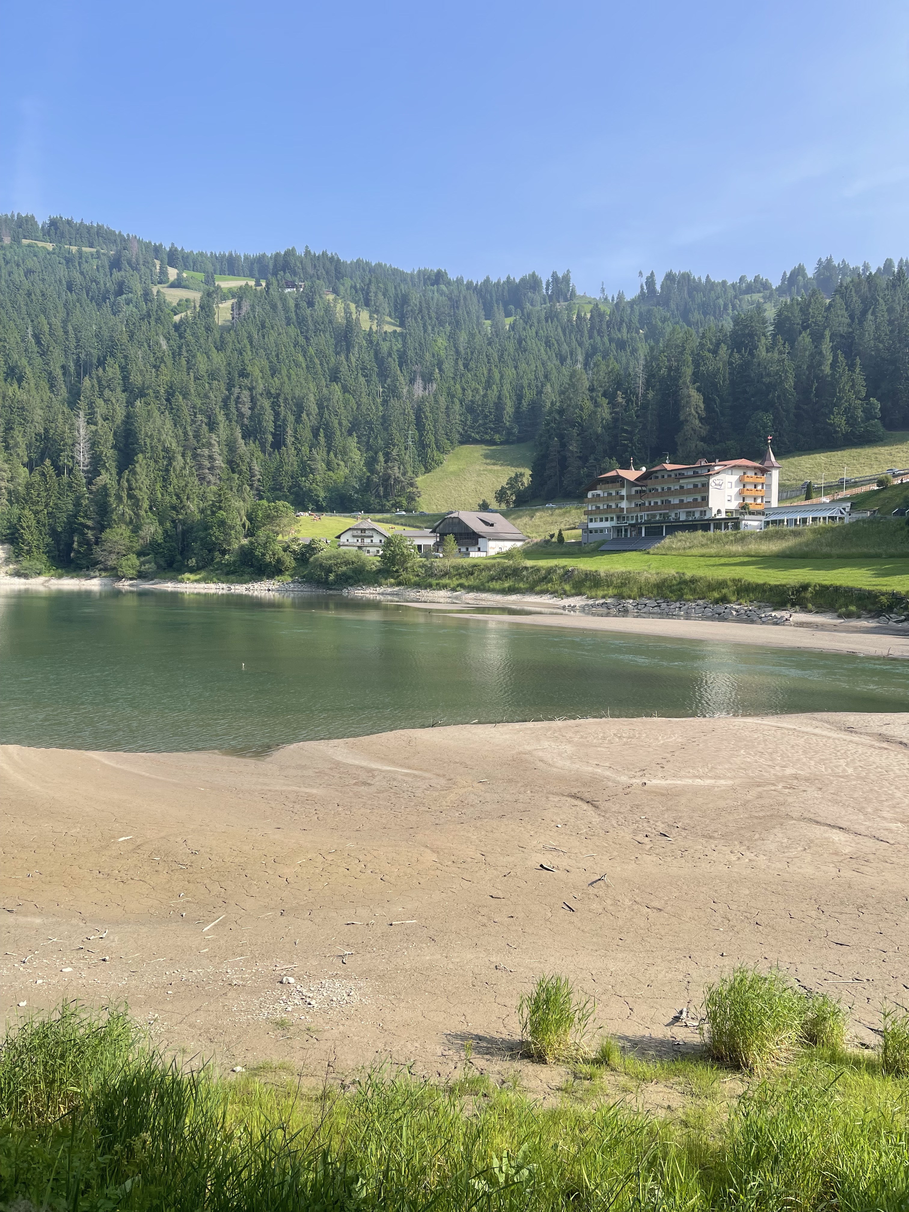
A cycling route starting in Braies, Trentino-Alto Adige, Italy.
Overview
About this route
RUN_Pragser Wildsee - Seekofel pěšky
12.9.2022
- -:--
- Duration
- 18.9 km
- Distance
- 1,591 m
- Ascent
- 1,592 m
- Descent
- ---
- Avg. speed
- 2,785 m
- Max. altitude
Continue with Bikemap
Use, edit, or download this cycling route
You would like to ride DOLOMITY 2022-E2_run or customize it for your own trip? Here is what you can do with this Bikemap route:
Free features
- Save this route as favorite or in collections
- Copy & plan your own version of this route
- Sync your route with Garmin or Wahoo
Premium features
Free trial for 3 days, or one-time payment. More about Bikemap Premium.
- Navigate this route on iOS & Android
- Export a GPX / KML file of this route
- Create your custom printout (try it for free)
- Download this route for offline navigation
Discover more Premium features.
Get Bikemap PremiumFrom our community
Other popular routes starting in Braies
 Anello Lago di Braies, Braies a Via Furcia, Valdaora
- Distance
- 26.2 km
- Ascent
- 746 m
- Descent
- 633 m
- Location
- Braies, Trentino-Alto Adige, Italy
 12-Strudelkoepfe-Schneeschuh
- Distance
- 18.5 km
- Ascent
- 836 m
- Descent
- 836 m
- Location
- Braies, Trentino-Alto Adige, Italy
 Prags
Prags- Distance
- 18 km
- Ascent
- 451 m
- Descent
- 432 m
- Location
- Braies, Trentino-Alto Adige, Italy
 Furkelsattel
- Distance
- 49.1 km
- Ascent
- 1,594 m
- Descent
- 1,594 m
- Location
- Braies, Trentino-Alto Adige, Italy
 Braies-Pratopiazza-Specie-Landro
- Distance
- 21.8 km
- Ascent
- 1,381 m
- Descent
- 1,466 m
- Location
- Braies, Trentino-Alto Adige, Italy
 Szállás - Misurina
- Distance
- 54.9 km
- Ascent
- 654 m
- Descent
- 687 m
- Location
- Braies, Trentino-Alto Adige, Italy
 Da Schmieden Ferrara Frazione Braies di Dentro - Lago di Braies
- Distance
- 14.5 km
- Ascent
- 345 m
- Descent
- 348 m
- Location
- Braies, Trentino-Alto Adige, Italy
 Logo di Braies - Plaetzwiesenhütte
- Distance
- 16.2 km
- Ascent
- 849 m
- Descent
- 153 m
- Location
- Braies, Trentino-Alto Adige, Italy
Open it in the app