

2011-08-20 Schleife-Gubin-Oder-Gubin-Schleife 180km
A cycling route starting in Schleife, Saxony, Germany.
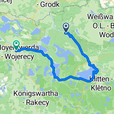
Overview
About this route
Bis Guben auf deutscher Seite, dann Sigthseeing/Geocaching in Gubin, weiter auf edlem EU-Asphalt bis zur Neißemündung nach Kosarzyn. Ab hier auf eher ruppigem Asphalt und Kopsteinpflaster-Ortsdurchfahrten zur Autofähre bei Chlebowo und zurück über Gubin auf polnischer Seite bis Forst.
Die Daten der Abschnitte Guben-Oderfähre und Forst-Schleife wurden nachträglich reingefummelt, da die GPS-Aufzeichnung nicht funktioniert hat :-(.
- -:--
- Duration
- 178.5 km
- Distance
- 275 m
- Ascent
- 277 m
- Descent
- ---
- Avg. speed
- ---
- Max. altitude

Route quality
Waytypes & surfaces along the route
Waytypes
Quiet road
44.5 km
(25 %)
Busy road
37 km
(21 %)
Surfaces
Paved
121.6 km
(68 %)
Unpaved
6.9 km
(4 %)
Asphalt
109.6 km
(61 %)
Paving stones
7 km
(4 %)
Route highlights
Points of interest along the route

Photo after 33.5 km
Erster Blick auf die Neiße

Photo after 57.4 km
in Gubin auf der "Himmelsleiter"

Photo after 59.2 km
Blick auf Gubin

Photo after 72.9 km
An der Neißemündung

Photo after 87.8 km
Autofähre über die Oder bei Chlebowo

Photo after 98.9 km
Irgendwo im Nirgendwo

Photo after 107.7 km
original polnische Küche

Photo after 131.6 km
Mehrere km Stress für Mensch und Material :-(
Continue with Bikemap
Use, edit, or download this cycling route
You would like to ride 2011-08-20 Schleife-Gubin-Oder-Gubin-Schleife 180km or customize it for your own trip? Here is what you can do with this Bikemap route:
Free features
- Save this route as favorite or in collections
- Copy & plan your own version of this route
- Split it into stages to create a multi-day tour
- Sync your route with Garmin or Wahoo
Premium features
Free trial for 3 days, or one-time payment. More about Bikemap Premium.
- Navigate this route on iOS & Android
- Export a GPX / KML file of this route
- Create your custom printout (try it for free)
- Download this route for offline navigation
Discover more Premium features.
Get Bikemap PremiumFrom our community
Other popular routes starting in Schleife
 2012-08-13 Seenland 200km
- Distance
- 199.5 km
- Ascent
- 163 m
- Descent
- 163 m
- Location
- Schleife, Saxony, Germany
 Malxetal, Oder-Neiße-Radweg
- Distance
- 50.9 km
- Ascent
- 195 m
- Descent
- 195 m
- Location
- Schleife, Saxony, Germany
 Stahlwaden RTF 3 Punkte Tour
- Distance
- 114.3 km
- Ascent
- 233 m
- Descent
- 234 m
- Location
- Schleife, Saxony, Germany
 2011-08-20 Schleife-Gubin-Oder-Gubin-Schleife 180km
- Distance
- 178.5 km
- Ascent
- 275 m
- Descent
- 277 m
- Location
- Schleife, Saxony, Germany
 Hammer 9, Spreetal nach An der Mühle 4, Hoyerswerda
- Distance
- 52.3 km
- Ascent
- 335 m
- Descent
- 328 m
- Location
- Schleife, Saxony, Germany
 Stahlwaden RTF 2 Punkte Tour
- Distance
- 84.6 km
- Ascent
- 257 m
- Descent
- 260 m
- Location
- Schleife, Saxony, Germany
 20170519_Froschradweg_Etappe2
- Distance
- 48.6 km
- Ascent
- 168 m
- Descent
- 150 m
- Location
- Schleife, Saxony, Germany
 Stahlwaden RTF 1 Punkte Tour
- Distance
- 45.8 km
- Ascent
- 231 m
- Descent
- 228 m
- Location
- Schleife, Saxony, Germany
Open it in the app