

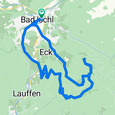
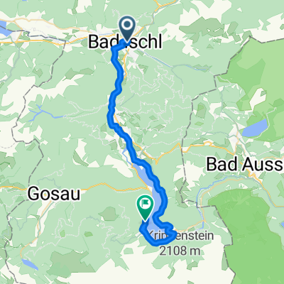
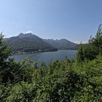
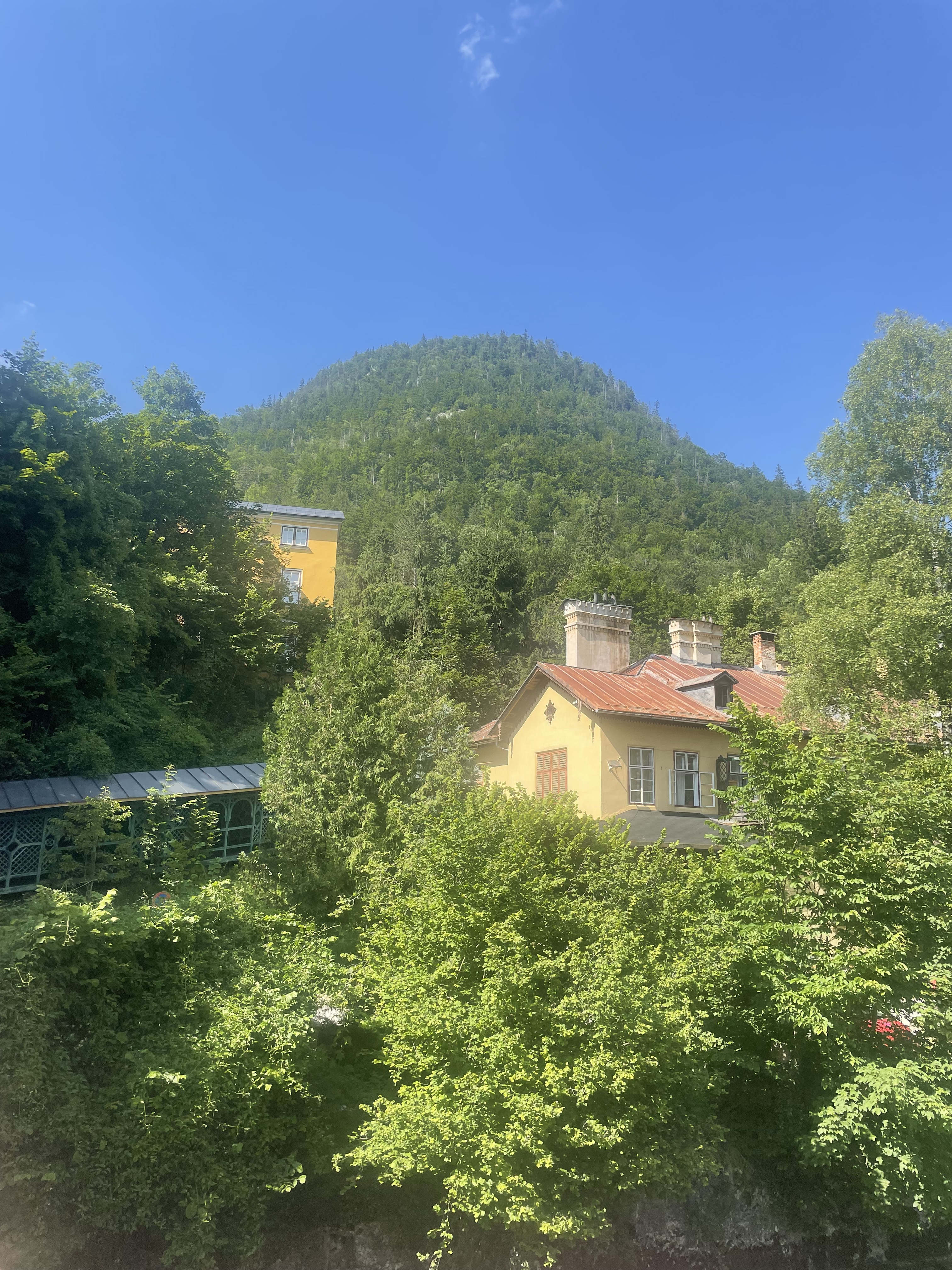
2022_Saiherbachalm
A cycling route starting in Bad Ischl, Upper Austria, Austria.
Overview
About this route
11.10.2022
- -:--
- Duration
- 26.2 km
- Distance
- 937 m
- Ascent
- 937 m
- Descent
- ---
- Avg. speed
- 1,042 m
- Max. altitude

Route quality
Waytypes & surfaces along the route
Waytypes
Track
17.5 km
(67 %)
Quiet road
3.9 km
(15 %)
Surfaces
Paved
7.6 km
(29 %)
Unpaved
17.5 km
(67 %)
Gravel
17.5 km
(67 %)
Asphalt
6 km
(23 %)
Continue with Bikemap
Use, edit, or download this cycling route
You would like to ride 2022_Saiherbachalm or customize it for your own trip? Here is what you can do with this Bikemap route:
Free features
- Save this route as favorite or in collections
- Copy & plan your own version of this route
- Sync your route with Garmin or Wahoo
Premium features
Free trial for 3 days, or one-time payment. More about Bikemap Premium.
- Navigate this route on iOS & Android
- Export a GPX / KML file of this route
- Create your custom printout (try it for free)
- Download this route for offline navigation
Discover more Premium features.
Get Bikemap PremiumFrom our community
Other popular routes starting in Bad Ischl
 Rettenbachstraße Hoisnradrunde Bad Ischl
- Distance
- 27.3 km
- Ascent
- 924 m
- Descent
- 974 m
- Location
- Bad Ischl, Upper Austria, Austria
 Bad Ischl: Hoisnradalm
- Distance
- 23 km
- Ascent
- 677 m
- Descent
- 675 m
- Location
- Bad Ischl, Upper Austria, Austria
 Wirerstraße nach Wirerstraße
- Distance
- 77.1 km
- Ascent
- 2,054 m
- Descent
- 2,052 m
- Location
- Bad Ischl, Upper Austria, Austria
 Auböckplatz, Bad Ischl - Traunkai, Bad Ischl
- Distance
- 56.5 km
- Ascent
- 655 m
- Descent
- 656 m
- Location
- Bad Ischl, Upper Austria, Austria
 Etappe 3: Von Bad Ischl nach Hallstatt – Salzkammergutradweg
- Distance
- 33.5 km
- Ascent
- 861 m
- Descent
- 791 m
- Location
- Bad Ischl, Upper Austria, Austria
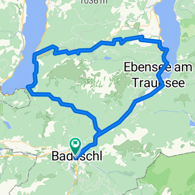
 Blick auf den Schwarzensee – Radweg entlang der Ischl Runde von Bad Ischl. 🚴🚴♂️
- Distance
- 34.7 km
- Ascent
- 506 m
- Descent
- 506 m
- Location
- Bad Ischl, Upper Austria, Austria
 Traunkai, Bad Ischl - Auböckplatz, Bad Ischl
- Distance
- 2.2 km
- Ascent
- 32 m
- Descent
- 33 m
- Location
- Bad Ischl, Upper Austria, Austria
 Traunreiterweg, Bad Ischl nach Traunreiterweg, Bad Ischl
- Distance
- 9.4 km
- Ascent
- 164 m
- Descent
- 162 m
- Location
- Bad Ischl, Upper Austria, Austria
Open it in the app