

Cegléd - Mátra
A cycling route starting in Cegléd, Pest megye, Hungary.
Overview
About this route
- -:--
- Duration
- 241.8 km
- Distance
- 1,468 m
- Ascent
- 1,468 m
- Descent
- ---
- Avg. speed
- ---
- Max. altitude

Route quality
Waytypes & surfaces along the route
Waytypes
Busy road
115.5 km
(48 %)
Track
31.1 km
(13 %)
Surfaces
Paved
70.4 km
(29 %)
Unpaved
7.6 km
(3 %)
Asphalt
69 km
(29 %)
Ground
6.3 km
(3 %)
Route highlights
Points of interest along the route
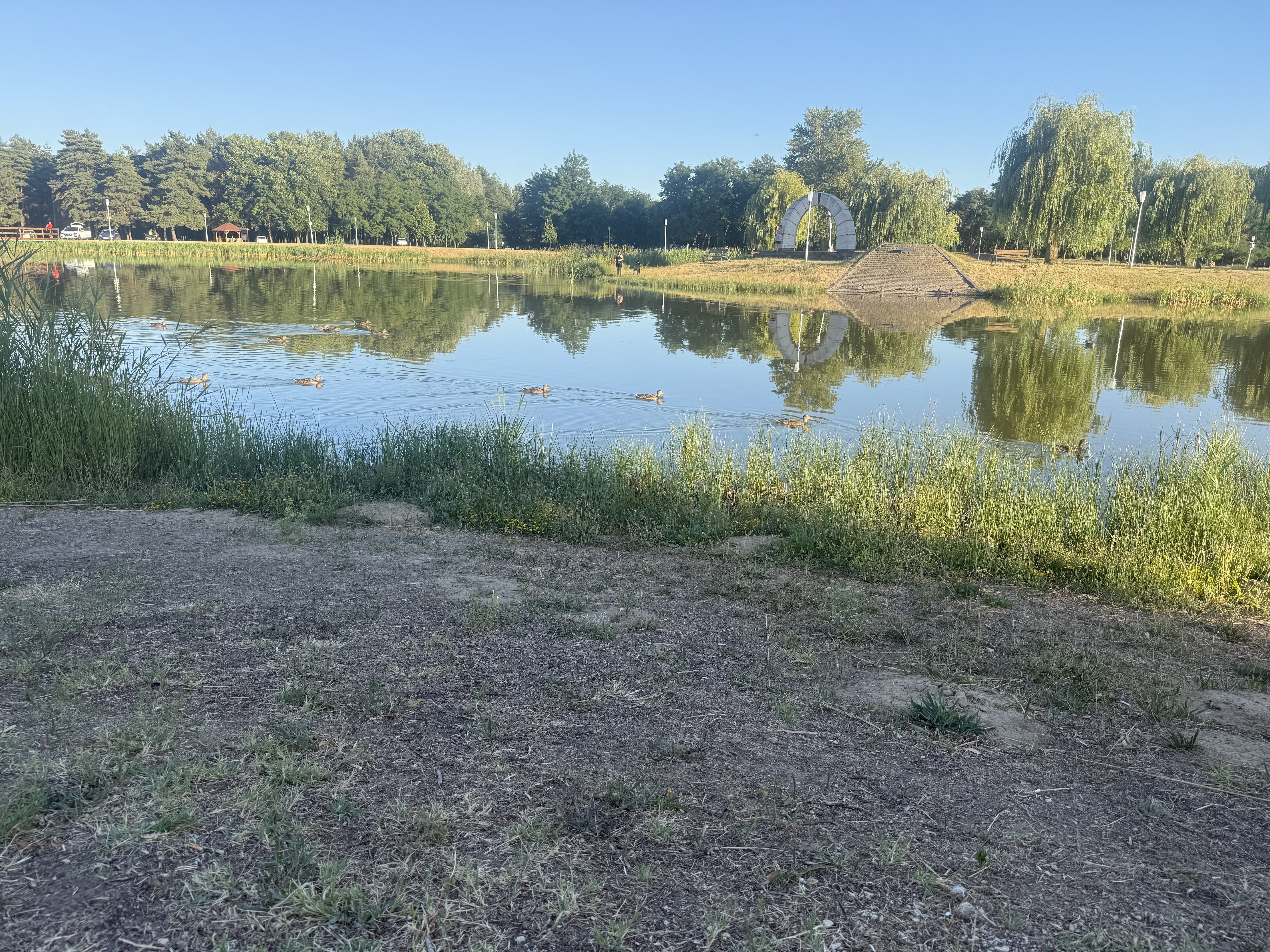
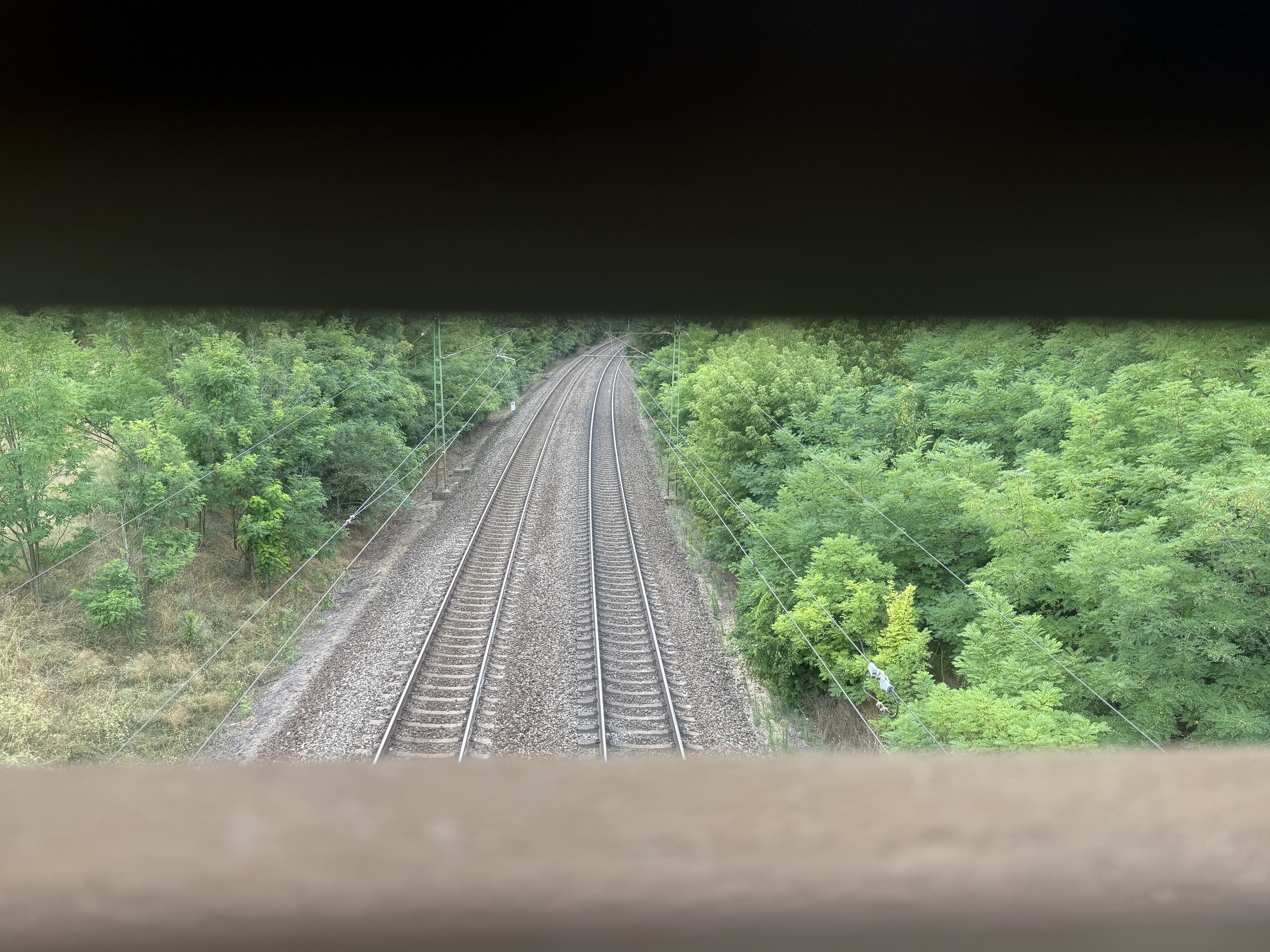
Point of interest after 124 km
Ilona völgyi vízesés
Continue with Bikemap
Use, edit, or download this cycling route
You would like to ride Cegléd - Mátra or customize it for your own trip? Here is what you can do with this Bikemap route:
Free features
- Save this route as favorite or in collections
- Copy & plan your own version of this route
- Split it into stages to create a multi-day tour
- Sync your route with Garmin or Wahoo
Premium features
Free trial for 3 days, or one-time payment. More about Bikemap Premium.
- Navigate this route on iOS & Android
- Export a GPX / KML file of this route
- Create your custom printout (try it for free)
- Download this route for offline navigation
Discover more Premium features.
Get Bikemap PremiumFrom our community
Other popular routes starting in Cegléd
 Mizsei út, Cegléd - Mizsei út, Cegléd
- Distance
- 50.6 km
- Ascent
- 103 m
- Descent
- 104 m
- Location
- Cegléd, Pest megye, Hungary
 Edzőkör
- Distance
- 66.1 km
- Ascent
- 19 m
- Descent
- 20 m
- Location
- Cegléd, Pest megye, Hungary
 Mizsei út, Cegléd - Mizsei út, Cegléd
- Distance
- 30.9 km
- Ascent
- 56 m
- Descent
- 59 m
- Location
- Cegléd, Pest megye, Hungary
 TdH2018 Stage3 Cegled-Hajduszoboszlo
- Distance
- 203.8 km
- Ascent
- 56 m
- Descent
- 72 m
- Location
- Cegléd, Pest megye, Hungary
 Mizsei út, Cegléd - Mizsei út, Cegléd
- Distance
- 26.8 km
- Ascent
- 55 m
- Descent
- 57 m
- Location
- Cegléd, Pest megye, Hungary
 TTJ Tápiómente
- Distance
- 115 km
- Ascent
- 237 m
- Descent
- 196 m
- Location
- Cegléd, Pest megye, Hungary
 Mizsei út, Cegléd - Mizsei út, Cegléd
- Distance
- 57.4 km
- Ascent
- 149 m
- Descent
- 147 m
- Location
- Cegléd, Pest megye, Hungary
 Árpád utca, Cegléd - Mizsei út, Cegléd
- Distance
- 29.2 km
- Ascent
- 68 m
- Descent
- 70 m
- Location
- Cegléd, Pest megye, Hungary
Open it in the app