

Day 6 - Solano Beach to San Diego
A cycling route starting in Solana Beach, California, United States.
Overview
About this route
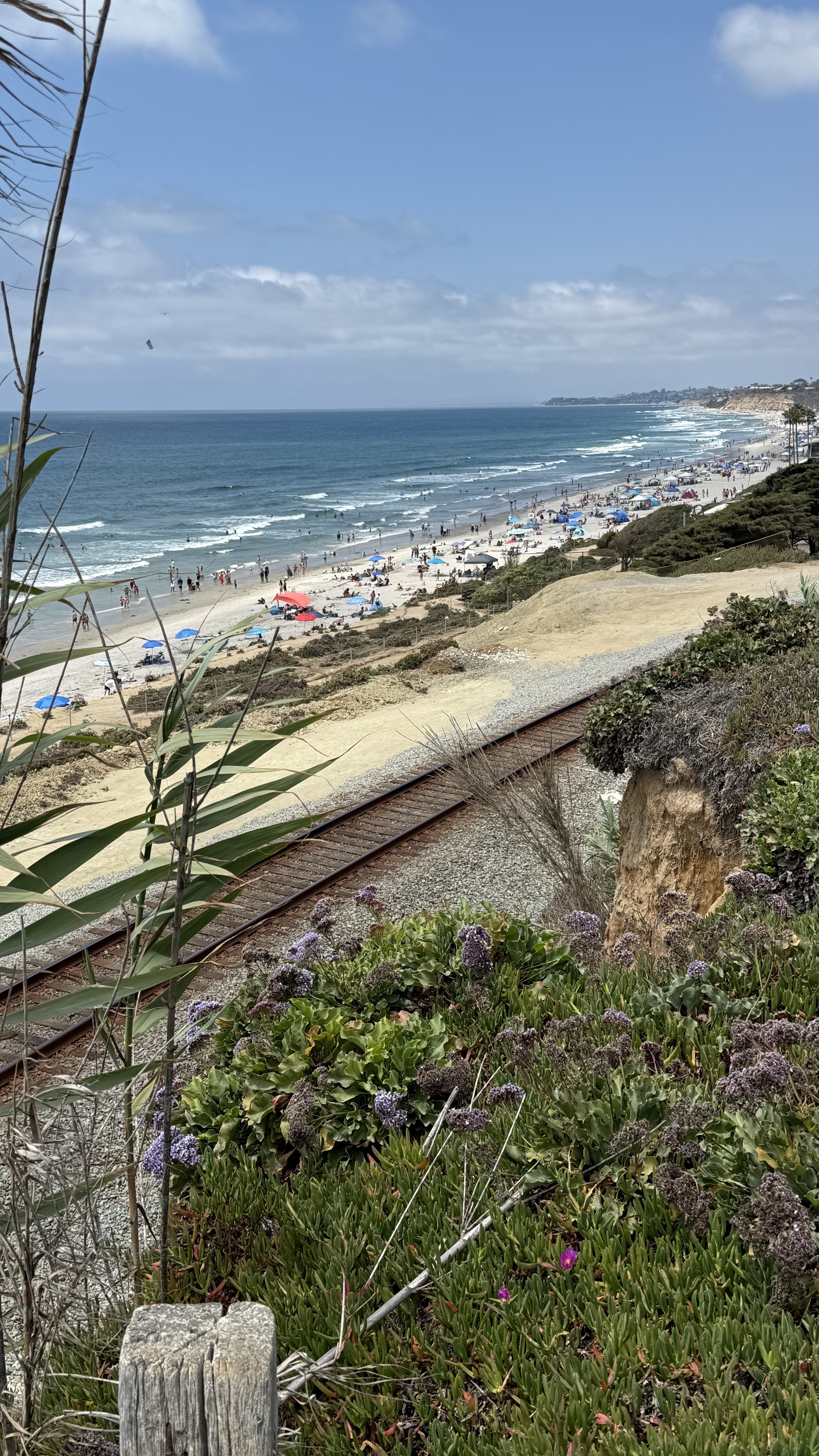
Today we travel to La Jolla via the Torrey Pines Rd which will be the biggest single climb of the trip. Once up the hill, "it's all downhill". We then meander through Mission Bay into San Diego on our way to the Mexico border area of Imperial Beach. Our tour is capped off by heading back north through Coronado Island and a ferry ride to find our Hotel in the Little Italy area of Downtown San Diego. Great Job Girls. We made it!
- -:--
- Duration
- 81.1 km
- Distance
- 354 m
- Ascent
- 371 m
- Descent
- ---
- Avg. speed
- 136 m
- Max. altitude

Route quality
Waytypes & surfaces along the route
Waytypes
Cycleway
33.3 km
(41 %)
Quiet road
11.4 km
(14 %)
Surfaces
Paved
65.7 km
(81 %)
Asphalt
60 km
(74 %)
Concrete
3.2 km
(4 %)
Continue with Bikemap
Use, edit, or download this cycling route
You would like to ride Day 6 - Solano Beach to San Diego or customize it for your own trip? Here is what you can do with this Bikemap route:
Free features
- Save this route as favorite or in collections
- Copy & plan your own version of this route
- Split it into stages to create a multi-day tour
- Sync your route with Garmin or Wahoo
Premium features
Free trial for 3 days, or one-time payment. More about Bikemap Premium.
- Navigate this route on iOS & Android
- Export a GPX / KML file of this route
- Create your custom printout (try it for free)
- Download this route for offline navigation
Discover more Premium features.
Get Bikemap PremiumFrom our community
Other popular routes starting in Solana Beach
 Jimmy Durante Blvd, San Diego to Powerhouse Park, Del Mar
- Distance
- 14.7 km
- Ascent
- 154 m
- Descent
- 153 m
- Location
- Solana Beach, California, United States
 2730 Via de la Valle, San Diego to Flower Hill Dr, San Diego
- Distance
- 46.2 km
- Ascent
- 11 m
- Descent
- 17 m
- Location
- Solana Beach, California, United States
 run1
run1- Distance
- 5.1 km
- Ascent
- 77 m
- Descent
- 75 m
- Location
- Solana Beach, California, United States
 PCH one way
- Distance
- 29.1 km
- Ascent
- 3 m
- Descent
- 26 m
- Location
- Solana Beach, California, United States
 2588 S Coast Hwy 101, Encinitas to 2611 S Coast Hwy 101, Encinitas
- Distance
- 7.5 km
- Ascent
- 19 m
- Descent
- 20 m
- Location
- Solana Beach, California, United States
 2655 S Coast Hwy 101, Encinitas to 8800 Lombard Pl, San Diego
- Distance
- 19.9 km
- Ascent
- 56 m
- Descent
- 55 m
- Location
- Solana Beach, California, United States
 Solana - Soledad Mt - Solana
- Distance
- 55 km
- Ascent
- 584 m
- Descent
- 589 m
- Location
- Solana Beach, California, United States
 Super Chicken 2
- Distance
- 68.6 km
- Ascent
- 321 m
- Descent
- 319 m
- Location
- Solana Beach, California, United States
Open it in the app