Camino Spain 2.dan
- 63.9 km
- 779 m
- 353 m
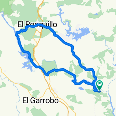
- Castilblanco de los Arroyos, Andalusia, Spain
A cycling route starting in Castilblanco de los Arroyos, Andalusia, Spain.
Overview
Fairly easy for beginners with more descents than climbs, with only 2 notable climbs: one at the end of the 5 km river descent, which is a 5 km climb but with little difficulty, and another towards the end of the route about 2 kilometers long, quite tougher though not excessively difficult. Otherwise nothing remarkable, a quiet route passing through 7 villages: Castilblanco, Cantillana, Villaverde, El Viar, Esquivel, Alcalá del Río and Burguillos, although through El Viar and Esquivel you don’t actually cycle but just pass by. If done in the opposite direction, things change quite a bit.
created this 14 years ago
Route quality
Road
35.3 km
(50 %)
Quiet road
2.8 km
(4 %)
Paved
14.1 km
(20 %)
Unpaved
0.7 km
(1 %)
Asphalt
14.1 km
(20 %)
Unpaved (undefined)
0.7 km
(1 %)
Undefined
55.8 km
(79 %)
Continue with Bikemap
You would like to ride 70km y 7 pueblos or customize it for your own trip? Here is what you can do with this Bikemap route:
Free trial for 3 days, or one-time payment. More about Bikemap Premium.
Discover more Premium features.
Get Bikemap PremiumFrom our community
Open it in the app