B2B00446 55449>55101 via Radisson Rd, Lexington Av, Victoria St, Como Av
- 36.3 km
- 112 m
- 131 m
- Blaine, Minnesota, United States
A cycling route starting in Blaine, Minnesota, United States.
Overview
created this 14 years ago
Route quality
Road
11.6 km
(39 %)
Cycleway
11.6 km
(39 %)
Paved
23.5 km
(79 %)
Asphalt
21.5 km
(72 %)
Concrete
1.8 km
(6 %)
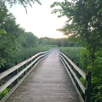
Route highlights
Continue with Bikemap
You would like to ride Blaine to GLS or customize it for your own trip? Here is what you can do with this Bikemap route:
Free trial for 3 days, or one-time payment. More about Bikemap Premium.
Discover more Premium features.
Get Bikemap PremiumFrom our community
Open it in the app