Dużo terenu za Wilczym
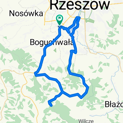
- 79.2 km
- 898 m
- 903 m
- Boguchwała, Subcarpathian Voivodeship, Poland
A cycling route starting in Boguchwała, Subcarpathian Voivodeship, Poland.
Overview
Almost completed the marathon route - Apple version
created this 14 years ago
Continue with Bikemap
You would like to ride Skandia Rzeszów V2 or customize it for your own trip? Here is what you can do with this Bikemap route:
Free trial for 3 days, or one-time payment. More about Bikemap Premium.
Discover more Premium features.
Get Bikemap PremiumFrom our community
Open it in the app