

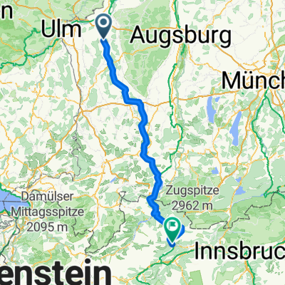
Waldstetten Senden Illertissen
A cycling route starting in Waldstetten, Bavaria, Germany.
Overview
About this route
- -:--
- Duration
- 74.1 km
- Distance
- 445 m
- Ascent
- 419 m
- Descent
- ---
- Avg. speed
- 579 m
- Max. altitude
Route quality
Waytypes & surfaces along the route
Waytypes
Road
21.5 km
(29 %)
Quiet road
20 km
(27 %)
Surfaces
Paved
63 km
(85 %)
Unpaved
0.7 km
(1 %)
Asphalt
58.5 km
(79 %)
Paved (undefined)
4.4 km
(6 %)
Continue with Bikemap
Use, edit, or download this cycling route
You would like to ride Waldstetten Senden Illertissen or customize it for your own trip? Here is what you can do with this Bikemap route:
Free features
- Save this route as favorite or in collections
- Copy & plan your own version of this route
- Sync your route with Garmin or Wahoo
Premium features
Free trial for 3 days, or one-time payment. More about Bikemap Premium.
- Navigate this route on iOS & Android
- Export a GPX / KML file of this route
- Create your custom printout (try it for free)
- Download this route for offline navigation
Discover more Premium features.
Get Bikemap PremiumFrom our community
Other popular routes starting in Waldstetten
 Waldstetten Senden Illertissen
- Distance
- 74.1 km
- Ascent
- 445 m
- Descent
- 419 m
- Location
- Waldstetten, Bavaria, Germany
 Waldstetten - Nassereith
- Distance
- 174.7 km
- Ascent
- 2,417 m
- Descent
- 2,074 m
- Location
- Waldstetten, Bavaria, Germany
 Biber-Günztal Flachetappe
- Distance
- 58.3 km
- Ascent
- 289 m
- Descent
- 274 m
- Location
- Waldstetten, Bavaria, Germany
 Radltour Waldstetten-Illertissen-Weißenhorn-Waldstetten
- Distance
- 62 km
- Ascent
- 309 m
- Descent
- 300 m
- Location
- Waldstetten, Bavaria, Germany
 Kammeltal, Günztal, Salzweiher
- Distance
- 47 km
- Ascent
- 240 m
- Descent
- 255 m
- Location
- Waldstetten, Bavaria, Germany
 Route im Schneckentempo in Kötz
- Distance
- 7.8 km
- Ascent
- 74 m
- Descent
- 36 m
- Location
- Waldstetten, Bavaria, Germany
 Zwischen Günz und Mindel ist die Kammel
- Distance
- 66.4 km
- Ascent
- 522 m
- Descent
- 505 m
- Location
- Waldstetten, Bavaria, Germany
 Donauriedrunde Wst Langenau Offingen
- Distance
- 64.3 km
- Ascent
- 115 m
- Descent
- 115 m
- Location
- Waldstetten, Bavaria, Germany
Open it in the app