Ingelheim - Kirchheimbolanden
- 98.6 km
- 1,475 m
- 1,308 m
- Ingelheim, Rhineland-Palatinate, Germany
A cycling route starting in Ingelheim, Rhineland-Palatinate, Germany.
Overview
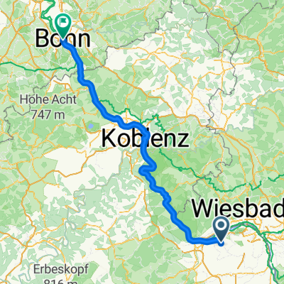
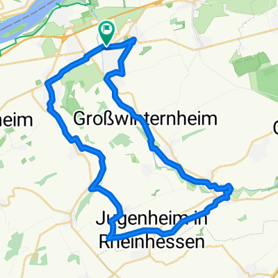
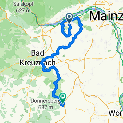
Beautiful circular tour on both sides of the Rhine from Ingelheim via Wiesbaden and back. Choose the direction of travel so that with strong westerly winds, the shorter southern bank of the Rhine is used on the way back. It can really blow in the Rhine valley! You cross the Rhine once over the Schierstein motorway bridge (not pretty) and once by the ferry Östrich - Winkel/Ingelheim. The route largely follows the "Rhein - Radweg" on the left bank of the Rhine (south). Not suitable for racing bikes. Actually ideal for trekking bikes - but also for normal bikes, if they still exist. ;-))
created this 16 years ago
Continue with Bikemap
You would like to ride "Üwwer die Schiersteiner Brück!" or customize it for your own trip? Here is what you can do with this Bikemap route:
Free trial for 3 days, or one-time payment. More about Bikemap Premium.
Discover more Premium features.
Get Bikemap PremiumFrom our community
Open it in the app