Datteln-Hamm-Kanal
A cycling route starting in Hamm, North Rhine-Westphalia, Germany.
Overview
About this route
The Datteln-Hamm Canal is an important waterway for Lünen. As a lateral canal, it connects the city of Hamm with the Dortmund-Ems Canal and is the link to the European waterway network. Because of its course along the Lippe, the Datteln Canal and its eastern extension, which is now called the Datteln-Hamm Canal, were referred to as the Lippe Side Canal at the start of construction. The shipping route was completed in 1914. Its main significance lies in the water supply of the West German canal network and the supply of several power plants. Due to its extremely low traffic volume, it is especially attractive for cyclists.
- -:--
- Duration
- 61.1 km
- Distance
- 80 m
- Ascent
- 60 m
- Descent
- ---
- Avg. speed
- ---
- Max. altitude
Route quality
Waytypes & surfaces along the route
Waytypes
Track
22 km
(36 %)
Path
17.7 km
(29 %)
Surfaces
Paved
20.8 km
(34 %)
Unpaved
31.2 km
(51 %)
Gravel
29.3 km
(48 %)
Asphalt
20.8 km
(34 %)
Route highlights
Points of interest along the route

Point of interest after 0 km
Hamm Hbf
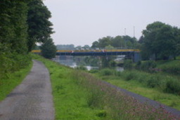
Photo after 0.9 km
Hamm, Kanal

Photo after 8.2 km
Kraftwerk in Werne

Photo after 15.8 km
Marinahafen Bergkamen-Rünthe

Photo after 21.8 km
Bergkamen ( ehem. Zeche
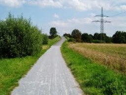
Photo after 28.2 km
Radweg am Kanal

Photo after 32.2 km
Datteln Hamm Kanal-Kraftwek
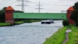
Photo after 40 km
Durchfahrt am Sicherheitstor

Photo after 43.3 km
EON Kraftwerk Datteln
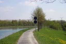
Photo after 48.2 km
Dortmund-Ems-Kanal
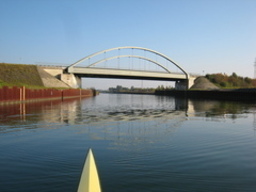
Photo after 49.6 km
Dortmund, Drucksbrücke

Accommodation after 52.8 km
Hotel-Restaurant Volksgarten Eckei 96 44359 Dortmund-Mengede Tel. 0231/9415194 Wir haben täglich ab 10 Uhr Geöffnet!
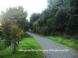
Photo after 54.5 km
Mengede-Emscherweg
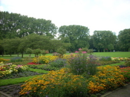
Photo after 58.5 km
Dortmund-Innenstadt-Nord (Fredenbaumpark)
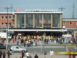
Point of interest after 61.1 km
Dortmund Hbf
Continue with Bikemap
Use, edit, or download this cycling route
You would like to ride Datteln-Hamm-Kanal or customize it for your own trip? Here is what you can do with this Bikemap route:
Free features
- Save this route as favorite or in collections
- Copy & plan your own version of this route
- Sync your route with Garmin or Wahoo
Premium features
Free trial for 3 days, or one-time payment. More about Bikemap Premium.
- Navigate this route on iOS & Android
- Export a GPX / KML file of this route
- Create your custom printout (try it for free)
- Download this route for offline navigation
Discover more Premium features.
Get Bikemap PremiumFrom our community
Other popular routes starting in Hamm
 Chr. Himmelfahrt 2020
- Distance
- 22.3 km
- Ascent
- 63 m
- Descent
- 63 m
- Location
- Hamm, North Rhine-Westphalia, Germany
 Radrunde Hammer Osten
- Distance
- 20.9 km
- Ascent
- 52 m
- Descent
- 52 m
- Location
- Hamm, North Rhine-Westphalia, Germany
 Im Schilfwinkel 4, Hamm nach Im Schilfwinkel 8, Hamm
- Distance
- 13.4 km
- Ascent
- 9 m
- Descent
- 8 m
- Location
- Hamm, North Rhine-Westphalia, Germany
 Wurzeln von Hamm
- Distance
- 21.2 km
- Ascent
- 75 m
- Descent
- 75 m
- Location
- Hamm, North Rhine-Westphalia, Germany
 Datteln-Hamm-Kanal
- Distance
- 61.1 km
- Ascent
- 80 m
- Descent
- 60 m
- Location
- Hamm, North Rhine-Westphalia, Germany
 Von Hamm bis Walstedde
- Distance
- 10.1 km
- Ascent
- 57 m
- Descent
- 46 m
- Location
- Hamm, North Rhine-Westphalia, Germany
 leichte Möhneseeroute
- Distance
- 38.7 km
- Ascent
- 192 m
- Descent
- 40 m
- Location
- Hamm, North Rhine-Westphalia, Germany
 Heessen-Walstedde -Heessen
- Distance
- 17.6 km
- Ascent
- 75 m
- Descent
- 75 m
- Location
- Hamm, North Rhine-Westphalia, Germany
Open it in the app


