

2022 Alpy
Den 4. Alpy nepropouští jen tak.
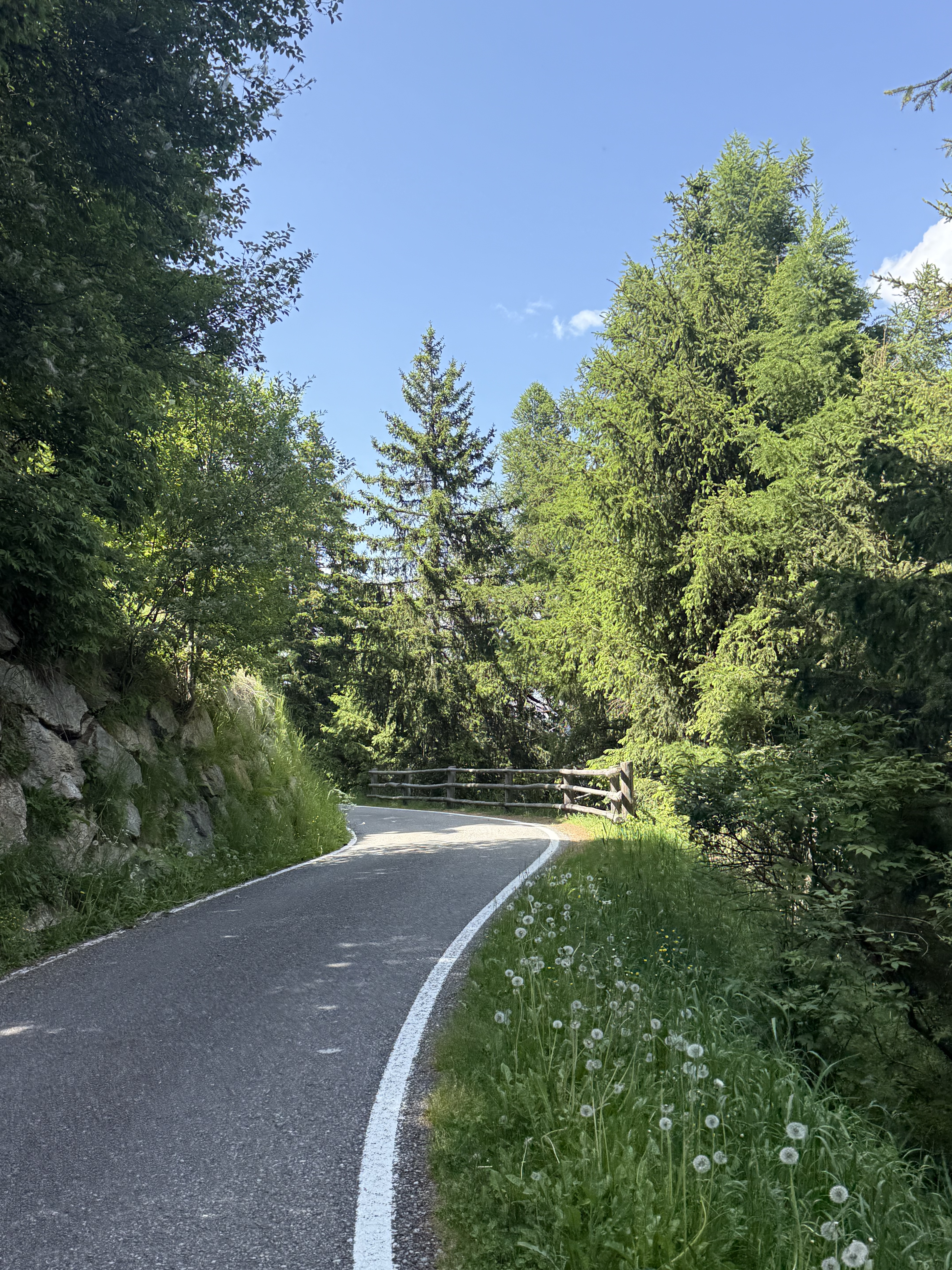
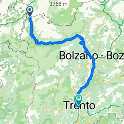
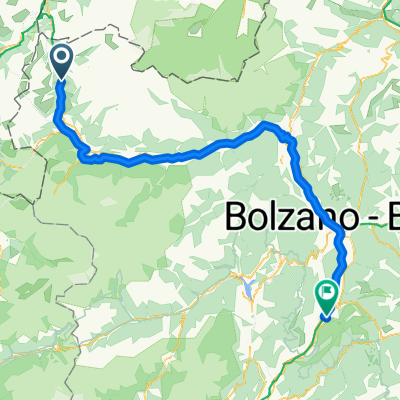
A cycling route starting in Graun im Vinschgau, Trentino-Alto Adige, Italy.
Overview
About this route
null
- -:--
- Duration
- 67.6 km
- Distance
- 1,203 m
- Ascent
- 1,957 m
- Descent
- ---
- Avg. speed
- 1,533 m
- Max. altitude
Part of
2022 Alpy
4 stages
Route quality
Waytypes & surfaces along the route
Waytypes
Quiet road
23.7 km
(35 %)
Track
8.1 km
(12 %)
Surfaces
Paved
58.1 km
(86 %)
Unpaved
6.1 km
(9 %)
Asphalt
58.1 km
(86 %)
Gravel
5.4 km
(8 %)
Continue with Bikemap
Use, edit, or download this cycling route
You would like to ride Den 4. Alpy nepropouští jen tak. or customize it for your own trip? Here is what you can do with this Bikemap route:
Free features
- Save this route as favorite or in collections
- Copy & plan your own version of this route
- Sync your route with Garmin or Wahoo
Premium features
Free trial for 3 days, or one-time payment. More about Bikemap Premium.
- Navigate this route on iOS & Android
- Export a GPX / KML file of this route
- Create your custom printout (try it for free)
- Download this route for offline navigation
Discover more Premium features.
Get Bikemap PremiumFrom our community
Other popular routes starting in Graun im Vinschgau
 Runde - Reschensee und Heidersee mit lecker Stopp beim Zenner
- Distance
- 22.6 km
- Ascent
- 216 m
- Descent
- 212 m
- Location
- Graun im Vinschgau, Trentino-Alto Adige, Italy
 leg 2 final
- Distance
- 196.3 km
- Ascent
- 1,074 m
- Descent
- 2,384 m
- Location
- Graun im Vinschgau, Trentino-Alto Adige, Italy
 Via Paese Vecchio - Waldbodenweg
- Distance
- 18.3 km
- Ascent
- 125 m
- Descent
- 137 m
- Location
- Graun im Vinschgau, Trentino-Alto Adige, Italy
 Tag 5: Bergab durch Südtirol
- Distance
- 122.6 km
- Ascent
- 310 m
- Descent
- 1,609 m
- Location
- Graun im Vinschgau, Trentino-Alto Adige, Italy
 Schlanders - San Michele all'Adige
- Distance
- 119.7 km
- Ascent
- 566 m
- Descent
- 1,812 m
- Location
- Graun im Vinschgau, Trentino-Alto Adige, Italy
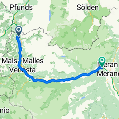 Reschen - Meran
- Distance
- 73.2 km
- Ascent
- 619 m
- Descent
- 1,744 m
- Location
- Graun im Vinschgau, Trentino-Alto Adige, Italy
 Reschensee Nauders
- Distance
- 36.9 km
- Ascent
- 530 m
- Descent
- 527 m
- Location
- Graun im Vinschgau, Trentino-Alto Adige, Italy
 02 Schöneben - Prad
- Distance
- 36.2 km
- Ascent
- 446 m
- Descent
- 1,649 m
- Location
- Graun im Vinschgau, Trentino-Alto Adige, Italy
Open it in the app