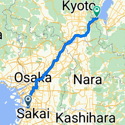
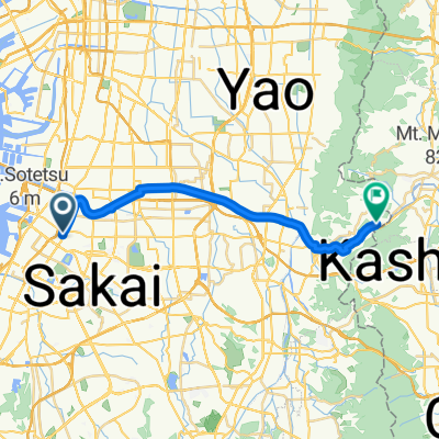
Tour of Japan 2014 Prologue
- 2.8 km
- 15 m
- 12 m
- Sakai, Osaka, Japan
A cycling route starting in Sakai, Osaka, Japan.
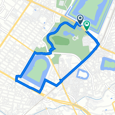
Overview
created this 3 years ago
Route quality
Pedestrian area
6.8 km
(57 %)
Quiet road
3 km
(25 %)
Paved
4.2 km
(35 %)
Unpaved
0.1 km
(1 %)
Asphalt
3.3 km
(28 %)
Paved (undefined)
0.8 km
(7 %)
Continue with Bikemap
You would like to ride factorism cycling: route B or customize it for your own trip? Here is what you can do with this Bikemap route:
Free trial for 3 days, or one-time payment. More about Bikemap Premium.
Discover more Premium features.
Get Bikemap PremiumFrom our community
Open it in the app