schafmatt
- 18.3 km
- 458 m
- 468 m
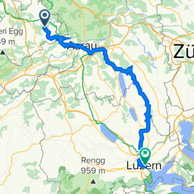
- Ormalingen, Basel-Landschaft, Switzerland
A cycling route starting in Ormalingen, Basel-Landschaft, Switzerland.
Overview
Wonderful tour with Passwang and a view of the Alps as the highlight.
created this 14 years ago
Route quality
Road
19.2 km
(17 %)
Quiet road
11.3 km
(10 %)
Paved
66.7 km
(59 %)
Asphalt
64.5 km
(57 %)
Paved (undefined)
1.1 km
(1 %)
Continue with Bikemap
You would like to ride Passwang - Unt. Hauenstein or customize it for your own trip? Here is what you can do with this Bikemap route:
Free trial for 3 days, or one-time payment. More about Bikemap Premium.
Discover more Premium features.
Get Bikemap PremiumFrom our community
Open it in the app