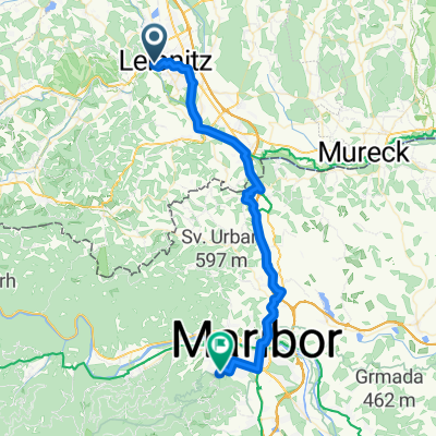
Leibnitz-Graz
A cycling route starting in Leibnitz, Styria, Styria, Austria.
Overview
About this route
The aim is to follow the Murradweg, this time to the north, but in Untertillmitsch a new road has been built that doesn't even appear on our map. Without any signage, we again inevitably fall off the route. Fortunately, there is a bike path along the road that goes in the right direction. In Lebring, the correct route is found again, and the bike path leads along the banks of the Mur all the way to Wendorf, where we meet the cornfields again. The cultivation of pumpkins also seems to be popular. At Kalsdorf, we decide to cross the river and continue on the eastern side into Graz. In the town itself, it is best to take a walk around. We start the return journey along the western bank of the Mur, and once again it is evident that the outward journey was uphill (although it wasn't recognized as such at the time). At Feldkirchen, we part ways with the river, and in Kalsdorf we reconnect with the outbound route, which we continue for about 15 kilometers until Lebring. Here we intend to ride the route we had planned to take on the way out. After a couple of hundred wandering meters and some educated guesses later, we indeed find the route, and a straight farm road quickly leads us along the track to Untertillmitsch, where we see where we should have turned on the way out. The last five kilometers are mostly taken along the route we took on the way out through the villages back to the campsite.
- -:--
- Duration
- 85.1 km
- Distance
- 95 m
- Ascent
- 92 m
- Descent
- ---
- Avg. speed
- ---
- Max. altitude
Route quality
Waytypes & surfaces along the route
Waytypes
Quiet road
32.3 km
(38 %)
Cycleway
26.4 km
(31 %)
Surfaces
Paved
67.2 km
(79 %)
Unpaved
5.1 km
(6 %)
Asphalt
65.5 km
(77 %)
Unpaved (undefined)
2.6 km
(3 %)
Continue with Bikemap
Use, edit, or download this cycling route
You would like to ride Leibnitz-Graz or customize it for your own trip? Here is what you can do with this Bikemap route:
Free features
- Save this route as favorite or in collections
- Copy & plan your own version of this route
- Split it into stages to create a multi-day tour
- Sync your route with Garmin or Wahoo
Premium features
Free trial for 3 days, or one-time payment. More about Bikemap Premium.
- Navigate this route on iOS & Android
- Export a GPX / KML file of this route
- Create your custom printout (try it for free)
- Download this route for offline navigation
Discover more Premium features.
Get Bikemap PremiumFrom our community
Other popular routes starting in Leibnitz
 1. Tag, 17.05.25: Leibniz-Deutschlandsberg-Stainz
- Distance
- 49.8 km
- Ascent
- 556 m
- Descent
- 481 m
- Location
- Leibnitz, Styria, Styria, Austria
 Unbenannte Route
- Distance
- 21.3 km
- Ascent
- 580 m
- Descent
- 503 m
- Location
- Leibnitz, Styria, Styria, Austria
 Weinland Steiermark Radtour
- Distance
- 402.9 km
- Ascent
- 3,643 m
- Descent
- 3,643 m
- Location
- Leibnitz, Styria, Styria, Austria
 Leibnitz-Graz
- Distance
- 85.1 km
- Ascent
- 95 m
- Descent
- 92 m
- Location
- Leibnitz, Styria, Styria, Austria
 A - Mur-Radweg-6 - Leibnitz-Bad Radkersburg - 52 km
- Distance
- 51.7 km
- Ascent
- 35 m
- Descent
- 98 m
- Location
- Leibnitz, Styria, Styria, Austria
 Badzufahrt, Leibnitz to Pohorska ulica, Maribor
- Distance
- 44.3 km
- Ascent
- 407 m
- Descent
- 373 m
- Location
- Leibnitz, Styria, Styria, Austria
 Großkleinrunde 2
- Distance
- 45.1 km
- Ascent
- 524 m
- Descent
- 525 m
- Location
- Leibnitz, Styria, Styria, Austria
 Wagna (Leibnitz) - Graz
- Distance
- 92.8 km
- Ascent
- 192 m
- Descent
- 194 m
- Location
- Leibnitz, Styria, Styria, Austria
Open it in the app


