

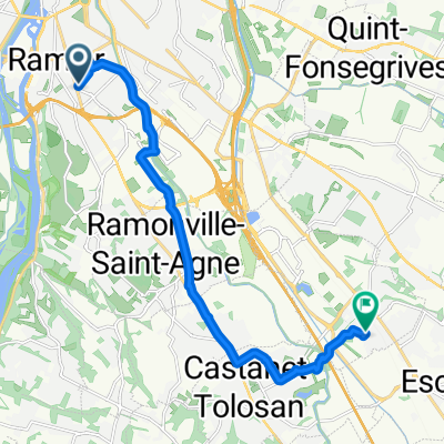
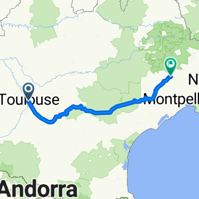
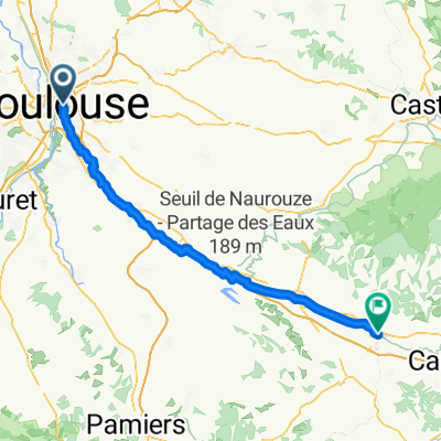
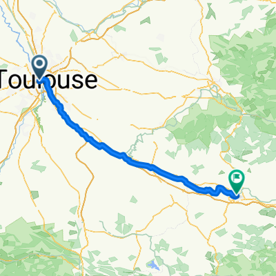
1. France
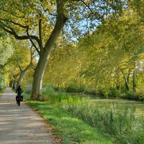
A cycling route starting in Toulouse, Occitanie, France.
Overview
About this route
-
canal des deux mers (Toulouse - Argeliers) /!\ anomalie km 112-113
-
EV8 (Argeliers - Italie)
- -:--
- Duration
- 873.4 km
- Distance
- 5,508 m
- Ascent
- 5,648 m
- Descent
- ---
- Avg. speed
- 603 m
- Max. altitude

Route quality
Waytypes & surfaces along the route
Waytypes
Quiet road
192.1 km
(22 %)
Path
165.9 km
(19 %)
Surfaces
Paved
559 km
(64 %)
Unpaved
148.5 km
(17 %)
Asphalt
541.5 km
(62 %)
Gravel
78.6 km
(9 %)
Route highlights
Points of interest along the route
Point of interest after 306.6 km
Montpellier
Point of interest after 392.9 km
Arles
Point of interest after 666.2 km
Cascade de Sillan
Point of interest after 800.2 km
Pauline
Point of interest after 825.7 km
Tonton Nico
Continue with Bikemap
Use, edit, or download this cycling route
You would like to ride 1. France or customize it for your own trip? Here is what you can do with this Bikemap route:
Free features
- Save this route as favorite or in collections
- Copy & plan your own version of this route
- Split it into stages to create a multi-day tour
- Sync your route with Garmin or Wahoo
Premium features
Free trial for 3 days, or one-time payment. More about Bikemap Premium.
- Navigate this route on iOS & Android
- Export a GPX / KML file of this route
- Create your custom printout (try it for free)
- Download this route for offline navigation
Discover more Premium features.
Get Bikemap PremiumFrom our community
Other popular routes starting in Toulouse
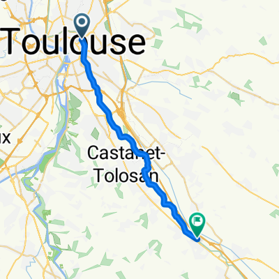
 10.10.25 Toulouse Castelnaudary
- Distance
- 73 km
- Ascent
- 134 m
- Descent
- 164 m
- Location
- Toulouse, Occitanie, France
 Place Saint-Barthélemy, Labège to Impasse Moulive, Toulouse
- Distance
- 13.8 km
- Ascent
- 59 m
- Descent
- 51 m
- Location
- Toulouse, Occitanie, France
 From Toulouse to Saint-Bauzille-de-Putois
- Distance
- 280.2 km
- Ascent
- 3,876 m
- Descent
- 3,903 m
- Location
- Toulouse, Occitanie, France
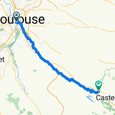
 Toulouse - Bram
- Distance
- 77.9 km
- Ascent
- 296 m
- Descent
- 328 m
- Location
- Toulouse, Occitanie, France
 05 Toulouse to Carcassonne 105
- Distance
- 105.8 km
- Ascent
- 345 m
- Descent
- 371 m
- Location
- Toulouse, Occitanie, France
 Canal du midi
- Distance
- 242.7 km
- Ascent
- 116 m
- Descent
- 241 m
- Location
- Toulouse, Occitanie, France
 Toulouse / Montgiscard
- Distance
- 21 km
- Ascent
- 40 m
- Descent
- 31 m
- Location
- Toulouse, Occitanie, France
 Rue de l'Amiral Galache, Toulouse à Rue des Terrasses, Labastide-d'Anjou
- Distance
- 53.8 km
- Ascent
- 261 m
- Descent
- 218 m
- Location
- Toulouse, Occitanie, France
Open it in the app