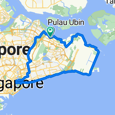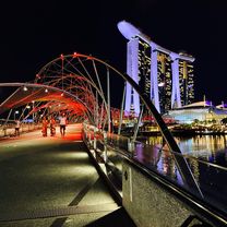
Punggol Rd, Singapore to Helix Bridge, Singapore
- 17.8 km
- 245 m
- 251 m
- Singapore, Central Singapore Community Development Council, Singapore
A cycling route starting in Singapore, Central Singapore Community Development Council, Singapore.
Overview
Tim Food Recommendation and also collection
created this 3 years ago
Route quality
Cycleway
12.2 km
(30 %)
Road
6.9 km
(17 %)
Paved
33.4 km
(82 %)
Asphalt
28.5 km
(70 %)
Concrete
2.9 km
(7 %)
Route highlights
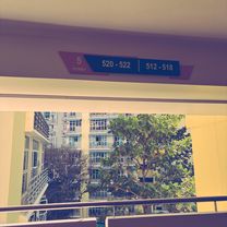
Food Stop
Tim Collection point
Continue with Bikemap
You would like to ride To the West (intended version) or customize it for your own trip? Here is what you can do with this Bikemap route:
Free trial for 3 days, or one-time payment. More about Bikemap Premium.
Discover more Premium features.
Get Bikemap PremiumFrom our community
Open it in the app