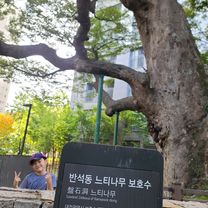
화봉산 여기저기
- 11 km
- 432 m
- 420 m
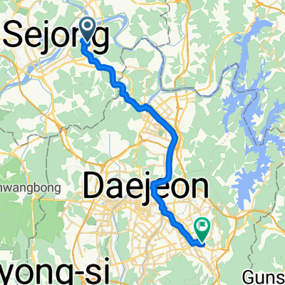
- Songgangdong, Daejeon, South Korea
A cycling route starting in Songgangdong, Daejeon, South Korea.
Overview
created this 3 years ago
Route quality
Track
11.1 km
(25 %)
Road
8.4 km
(19 %)
Paved
4 km
(9 %)
Unpaved
8.8 km
(20 %)
Loose gravel
8.8 km
(20 %)
Concrete
3.5 km
(8 %)
Continue with Bikemap
You would like to ride 669, Gwanpyeong-dong, Daejeon to 669-1, Gwanpyeong-dong, Daejeon or customize it for your own trip? Here is what you can do with this Bikemap route:
Free trial for 3 days, or one-time payment. More about Bikemap Premium.
Discover more Premium features.
Get Bikemap PremiumFrom our community
Open it in the app
![Ph0]에서 경로연기면 548-85](https://media.bikemap.net/routes/17377894/gallery/thumbs/84958e29-1158-405d-87a8-90b28de881bb.jpg.208x208_q80_crop.jpg)