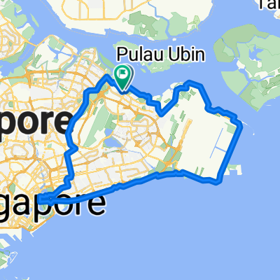
Home -Bukit Timah Rd - Kranji Loop (60km) - Home -Bukit Timah Rd - Kranji Loop (60km)
- 38.2 km
- 436 m
- 442 m
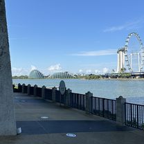
- Singapore, Central Singapore Community Development Council, Singapore