ปั่นจับม่อนฯ ^^
- 24 km
- 36 m
- 29 m
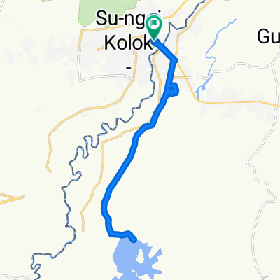
- Su-ngai Kolok, Narathiwat, Thailand
A cycling route starting in Su-ngai Kolok, Narathiwat, Thailand.
Overview
created this 3 years ago
Continue with Bikemap
You would like to ride Easy ride วันที่ 2 or customize it for your own trip? Here is what you can do with this Bikemap route:
Free trial for 3 days, or one-time payment. More about Bikemap Premium.
Discover more Premium features.
Get Bikemap PremiumFrom our community
Open it in the app