
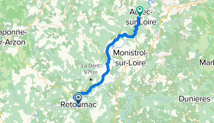
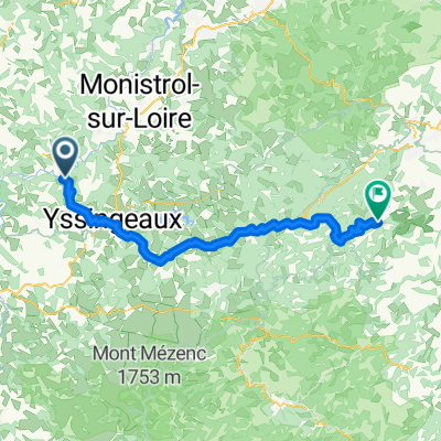
LV04 Retournac to Aurec.kml - LV04 Retournac to Aurec.kml_LV04 Retournac to Aurec
A cycling route starting in Retournac, Auvergne-Rhône-Alpes, France.
Overview
About this route
Converted from a KML file KML2GPX.COM - This is track no: 1
- -:--
- Duration
- 30 km
- Distance
- 449 m
- Ascent
- 569 m
- Descent
- ---
- Avg. speed
- 702 m
- Max. altitude

Route quality
Waytypes & surfaces along the route
Waytypes
Quiet road
4.8 km
(16 %)
Road
0.6 km
(2 %)
Surfaces
Paved
11.1 km
(37 %)
Asphalt
11.1 km
(37 %)
Undefined
18.9 km
(63 %)
Continue with Bikemap
Use, edit, or download this cycling route
You would like to ride LV04 Retournac to Aurec.kml - LV04 Retournac to Aurec.kml_LV04 Retournac to Aurec or customize it for your own trip? Here is what you can do with this Bikemap route:
Free features
- Save this route as favorite or in collections
- Copy & plan your own version of this route
- Sync your route with Garmin or Wahoo
Premium features
Free trial for 3 days, or one-time payment. More about Bikemap Premium.
- Navigate this route on iOS & Android
- Export a GPX / KML file of this route
- Create your custom printout (try it for free)
- Download this route for offline navigation
Discover more Premium features.
Get Bikemap PremiumFrom our community
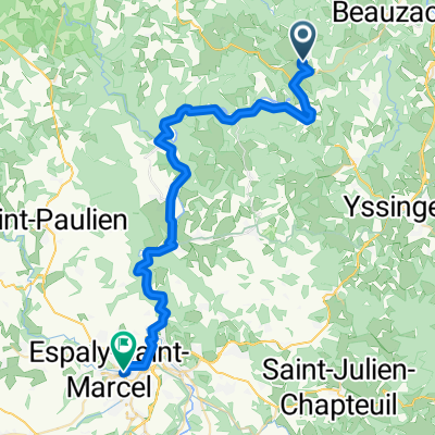
Other popular routes starting in Retournac
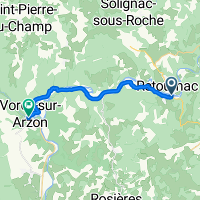 21. Retournac - Vorey
- Distance
- 13.9 km
- Ascent
- 197 m
- Descent
- 159 m
- Location
- Retournac, Auvergne-Rhône-Alpes, France
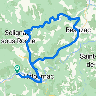 Cosycamp_40km_700hm
- Distance
- 40.6 km
- Ascent
- 630 m
- Descent
- 630 m
- Location
- Retournac, Auvergne-Rhône-Alpes, France
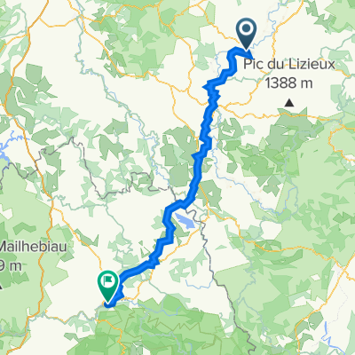
 Chamalieres 1
- Distance
- 46.9 km
- Ascent
- 737 m
- Descent
- 727 m
- Location
- Retournac, Auvergne-Rhône-Alpes, France
 Chamalieres 2
- Distance
- 38.6 km
- Ascent
- 705 m
- Descent
- 698 m
- Location
- Retournac, Auvergne-Rhône-Alpes, France
 Calella2023Tag3Sonntag
- Distance
- 126.2 km
- Ascent
- 2,530 m
- Descent
- 2,358 m
- Location
- Retournac, Auvergne-Rhône-Alpes, France
 Retournac-La Garde Guerin
- Distance
- 133.3 km
- Ascent
- 1,634 m
- Descent
- 1,271 m
- Location
- Retournac, Auvergne-Rhône-Alpes, France
 Retournac - Satillieu
- Distance
- 71.1 km
- Ascent
- 1,203 m
- Descent
- 1,196 m
- Location
- Retournac, Auvergne-Rhône-Alpes, France
 4. Tag Retournac - Le Puy-en-Velay
- Distance
- 43 km
- Ascent
- 753 m
- Descent
- 770 m
- Location
- Retournac, Auvergne-Rhône-Alpes, France
Open it in the app