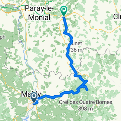
LV07 Roanne to Digoin.kml - LV07 Roanne to Digoin.kml_LV07 Roanne to Digoin
A cycling route starting in Roanne, Auvergne-Rh么ne-Alpes, France.
Overview
About this route
Converted from a KML file KML2GPX.COM - This is track no: 1
- -:--
- Duration
- 58.2 km
- Distance
- 108 m
- Ascent
- 154 m
- Descent
- ---
- Avg. speed
- 274 m
- Max. altitude
Route quality
Waytypes & surfaces along the route
Waytypes
Path
31.2 km
(54 %)
Quiet road
13.4 km
(23 %)
Surfaces
Paved
35.6 km
(61 %)
Asphalt
35.6 km
(61 %)
Concrete
0.1 km
(<1 %)
Undefined
22.6 km
(39 %)
Continue with Bikemap
Use, edit, or download this cycling route
You would like to ride LV07 Roanne to Digoin.kml - LV07 Roanne to Digoin.kml_LV07 Roanne to Digoin or customize it for your own trip? Here is what you can do with this Bikemap route:
Free features
- Save this route as favorite or in collections
- Copy & plan your own version of this route
- Sync your route with Garmin or Wahoo
Premium features
Free trial for 3 days, or one-time payment. More about Bikemap Premium.
- Navigate this route on iOS & Android
- Export a GPX / KML file of this route
- Create your custom printout (try it for free)
- Download this route for offline navigation
Discover more Premium features.
Get Bikemap PremiumFrom our community
Other popular routes starting in Roanne
- Roanne - Clermont-Ferrand
- Distance
- 103.1 km
- Ascent
- 1,185 m
- Descent
- 1,110 m
- Location
- Roanne, Auvergne-Rh么ne-Alpes, France
- Tour de France
- Distance
- 153.9 km
- Ascent
- 2,229 m
- Descent
- 1,054 m
- Location
- Roanne, Auvergne-Rh么ne-Alpes, France
- Roanne to St Yan
- Distance
- 45.6 km
- Ascent
- 86 m
- Descent
- 130 m
- Location
- Roanne, Auvergne-Rh么ne-Alpes, France
- Roanne Roanne
- Distance
- 12.4 km
- Ascent
- 51 m
- Descent
- 47 m
- Location
- Roanne, Auvergne-Rh么ne-Alpes, France
- #5 Roanne - Clermont-Ferrand
- Distance
- 128.9 km
- Ascent
- 1,466 m
- Descent
- 1,339 m
- Location
- Roanne, Auvergne-Rh么ne-Alpes, France
- LV07 Roanne to Digoin.kml - LV07 Roanne to Digoin.kml_LV07 Roanne to Digoin
- Distance
- 58.2 km
- Ascent
- 108 m
- Descent
- 154 m
- Location
- Roanne, Auvergne-Rh么ne-Alpes, France
- Balade dans le nord du Forez
- Distance
- 126.9 km
- Ascent
- 2,161 m
- Descent
- 2,168 m
- Location
- Roanne, Auvergne-Rh么ne-Alpes, France
- Roanne 脿 Vichy
- Distance
- 111 km
- Ascent
- 2,054 m
- Descent
- 2,078 m
- Location
- Roanne, Auvergne-Rh么ne-Alpes, France
Open it in the app