
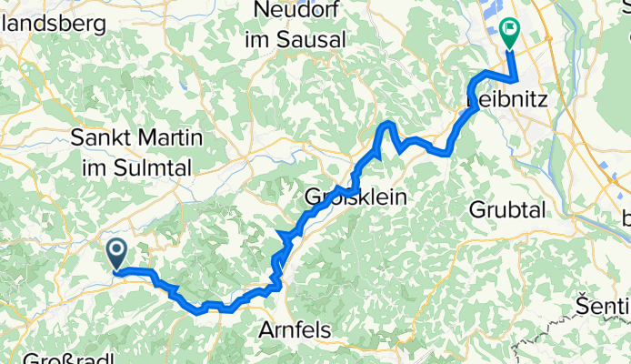
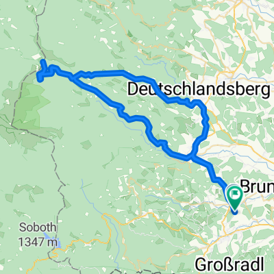
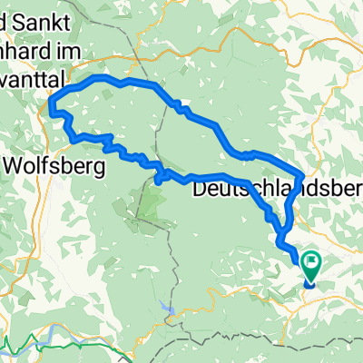
Pitschgau 13 nach Kaindorf/Sulm Bahnhst
A cycling route starting in Pitschgau, Styria, Austria.
Overview
About this route
- 1 h 44 min
- Duration
- 36.1 km
- Distance
- 136 m
- Ascent
- 257 m
- Descent
- 20.7 km/h
- Avg. speed
- 393 m
- Max. altitude

Route quality
Waytypes & surfaces along the route
Waytypes
Quiet road
21.3 km
(59 %)
Busy road
4.8 km
(13 %)
Surfaces
Paved
25.2 km
(70 %)
Unpaved
1.9 km
(5 %)
Asphalt
24.6 km
(68 %)
Gravel
1.1 km
(3 %)
Continue with Bikemap
Use, edit, or download this cycling route
You would like to ride Pitschgau 13 nach Kaindorf/Sulm Bahnhst or customize it for your own trip? Here is what you can do with this Bikemap route:
Free features
- Save this route as favorite or in collections
- Copy & plan your own version of this route
- Sync your route with Garmin or Wahoo
Premium features
Free trial for 3 days, or one-time payment. More about Bikemap Premium.
- Navigate this route on iOS & Android
- Export a GPX / KML file of this route
- Create your custom printout (try it for free)
- Download this route for offline navigation
Discover more Premium features.
Get Bikemap PremiumFrom our community
Other popular routes starting in Pitschgau
 weinebene - koralm - wies
- Distance
- 138.4 km
- Ascent
- 3,992 m
- Descent
- 3,994 m
- Location
- Pitschgau, Styria, Austria
 Pitschgau 13 nach Kaindorf/Sulm Bahnhst
- Distance
- 36.1 km
- Ascent
- 136 m
- Descent
- 257 m
- Location
- Pitschgau, Styria, Austria
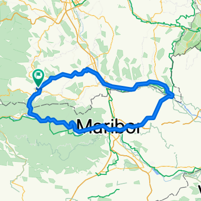
 Wies - Krottendorf - Lieboch - Kalsdorf - Gralla - Gleinstätten - Wies
- Distance
- 118 km
- Ascent
- 934 m
- Descent
- 977 m
- Location
- Pitschgau, Styria, Austria
 Wies - Bad Radkersburg - Marburg - Radlpass - Wies
- Distance
- 168.1 km
- Ascent
- 787 m
- Descent
- 787 m
- Location
- Pitschgau, Styria, Austria
 Wies-Köflach-Gaberl-Bad St.Leonhard-Weinebene-Wies
- Distance
- 199.2 km
- Ascent
- 2,795 m
- Descent
- 2,795 m
- Location
- Pitschgau, Styria, Austria
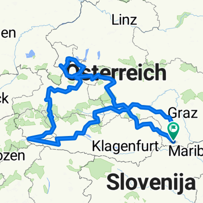 Österreichrundfahrt
- Distance
- 1,002 km
- Ascent
- 8,102 m
- Descent
- 8,094 m
- Location
- Pitschgau, Styria, Austria
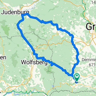
 Wies - Weinebene - Hollenegg - Wies
- Distance
- 67.2 km
- Ascent
- 1,505 m
- Descent
- 1,483 m
- Location
- Pitschgau, Styria, Austria
 Wies-Hebalm-Weinebene-Wies
- Distance
- 118.5 km
- Ascent
- 2,377 m
- Descent
- 2,377 m
- Location
- Pitschgau, Styria, Austria
Open it in the app