

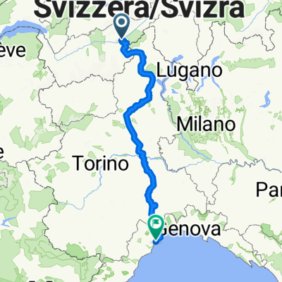
Brig - Grimsel - Luzern
A cycling route starting in Naters, Valais, Switzerland.
Overview
About this route
Autumn route over the Grimsel to the half marathon in Lucerne on Sunday
- -:--
- Duration
- 140.8 km
- Distance
- 3,418 m
- Ascent
- 3,656 m
- Descent
- ---
- Avg. speed
- 2,169 m
- Max. altitude

Route quality
Waytypes & surfaces along the route
Waytypes
Quiet road
25.3 km
(18 %)
Road
18.3 km
(13 %)
Surfaces
Paved
107 km
(76 %)
Unpaved
7 km
(5 %)
Asphalt
101.4 km
(72 %)
Paved (undefined)
5.6 km
(4 %)
Continue with Bikemap
Use, edit, or download this cycling route
You would like to ride Brig - Grimsel - Luzern or customize it for your own trip? Here is what you can do with this Bikemap route:
Free features
- Save this route as favorite or in collections
- Copy & plan your own version of this route
- Split it into stages to create a multi-day tour
- Sync your route with Garmin or Wahoo
Premium features
Free trial for 3 days, or one-time payment. More about Bikemap Premium.
- Navigate this route on iOS & Android
- Export a GPX / KML file of this route
- Create your custom printout (try it for free)
- Download this route for offline navigation
Discover more Premium features.
Get Bikemap PremiumFrom our community
Other popular routes starting in Naters
 Naters -Belalp-nessel-birgisch
- Distance
- 27.7 km
- Ascent
- 1,402 m
- Descent
- 1,401 m
- Location
- Naters, Valais, Switzerland
 Riederalp
- Distance
- 16.3 km
- Ascent
- 1,256 m
- Descent
- 127 m
- Location
- Naters, Valais, Switzerland
 Swisstopo Route
- Distance
- 11.5 km
- Ascent
- 73 m
- Descent
- 1,076 m
- Location
- Naters, Valais, Switzerland
 Brig - Grimsel - Luzern
- Distance
- 140.8 km
- Ascent
- 3,418 m
- Descent
- 3,656 m
- Location
- Naters, Valais, Switzerland
 über den Saflisch-Pass
- Distance
- 54.3 km
- Ascent
- 2,148 m
- Descent
- 2,147 m
- Location
- Naters, Valais, Switzerland
 Jour 2 Filet/Andermatt par saint Gothar
- Distance
- 100.9 km
- Ascent
- 2,824 m
- Descent
- 2,139 m
- Location
- Naters, Valais, Switzerland
 Maralp Tour: Brig- Savonna
- Distance
- 360.9 km
- Ascent
- 2,650 m
- Descent
- 3,327 m
- Location
- Naters, Valais, Switzerland
 Alpenrundtour 2010
- Distance
- 733.9 km
- Ascent
- 9,564 m
- Descent
- 9,627 m
- Location
- Naters, Valais, Switzerland
Open it in the app