
BMB FRIGHT RIDE 2022
A cycling route starting in Richmond, Virginia, United States of America.
Overview
About this route
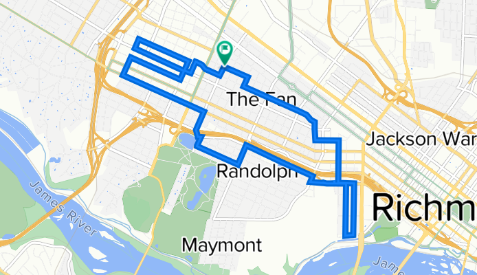
STARBUCKS - ROBINSON TO HANOVER (VMFA) - GROVE TO BELMONT TO HANOVER - NANSMOND TO GROVE (EAST) - SHEPPARD TO FLOYD - NANSMOND TO CARY - CARY TO ROBINSON - ROBINSON TO GRAYLAND - MAPLEWOOD TO MEADOW - MEADOW TO GRAYLAND - HARRISON TO IDLEWOOD - IDLEWOOD TO LAUREL - ORGEON HILL OVERLOOK - PINE TO IDLEWOOD - CHERRY TO FLOYD (VCU) - MORRIS TO PARK/HANOVER - STRAWBERRY TO STUART TO STARBUCKS
- -:--
- Duration
- 12.6 km
- Distance
- 85 m
- Ascent
- 84 m
- Descent
- ---
- Avg. speed
- 72 m
- Max. altitude

Route quality
Waytypes & surfaces along the route
Waytypes
Quiet road
7.2 km
(57 %)
Road
3.1 km
(25 %)
Surfaces
Paved
8.7 km
(69 %)
Asphalt
6.2 km
(49 %)
Paved (undefined)
2 km
(16 %)
Continue with Bikemap
Use, edit, or download this cycling route
You would like to ride BMB FRIGHT RIDE 2022 or customize it for your own trip? Here is what you can do with this Bikemap route:
Free features
- Save this route as favorite or in collections
- Copy & plan your own version of this route
- Sync your route with Garmin or Wahoo
Premium features
Free trial for 3 days, or one-time payment. More about Bikemap Premium.
- Navigate this route on iOS & Android
- Export a GPX / KML file of this route
- Create your custom printout (try it for free)
- Download this route for offline navigation
Discover more Premium features.
Get Bikemap PremiumFrom our community
Other popular routes starting in Richmond
 Quick Ride
- Distance
- 6.4 km
- Ascent
- 54 m
- Descent
- 54 m
- Location
- Richmond, Virginia, United States of America
 BLACK RESTAURANT BREEZE RIDE
- Distance
- 20.4 km
- Ascent
- 56 m
- Descent
- 56 m
- Location
- Richmond, Virginia, United States of America
 Conquer the Cobbles
- Distance
- 16.5 km
- Ascent
- 159 m
- Descent
- 158 m
- Location
- Richmond, Virginia, United States of America
 Rob-Herm-Belle-Seminary-Walton-Northside-Main
- Distance
- 18.2 km
- Ascent
- 85 m
- Descent
- 84 m
- Location
- Richmond, Virginia, United States of America
 Richmond Public Safety Community Bike Ride
- Distance
- 19.2 km
- Ascent
- 86 m
- Descent
- 102 m
- Location
- Richmond, Virginia, United States of America
 williamsburg
- Distance
- 87.5 km
- Ascent
- 208 m
- Descent
- 193 m
- Location
- Richmond, Virginia, United States of America
 From Richmond to Washington
- Distance
- 231.5 km
- Ascent
- 2,057 m
- Descent
- 2,100 m
- Location
- Richmond, Virginia, United States of America
 Robinson-Canal-Chimborazo-Leigh-Scotts-
- Distance
- 20.3 km
- Ascent
- 109 m
- Descent
- 110 m
- Location
- Richmond, Virginia, United States of America
Open it in the app