
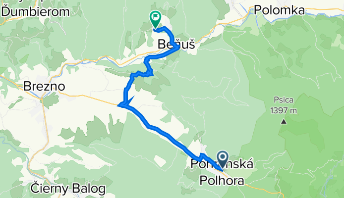
Pohronská Polhora - Braväcovo
A cycling route starting in Čierny Balog, Banská Bystrica Region, Slovakia.
Overview
About this route
- 2 h 1 min
- Duration
- 18.7 km
- Distance
- 317 m
- Ascent
- 345 m
- Descent
- 9.3 km/h
- Avg. speed
- 702 m
- Max. altitude

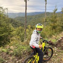
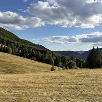
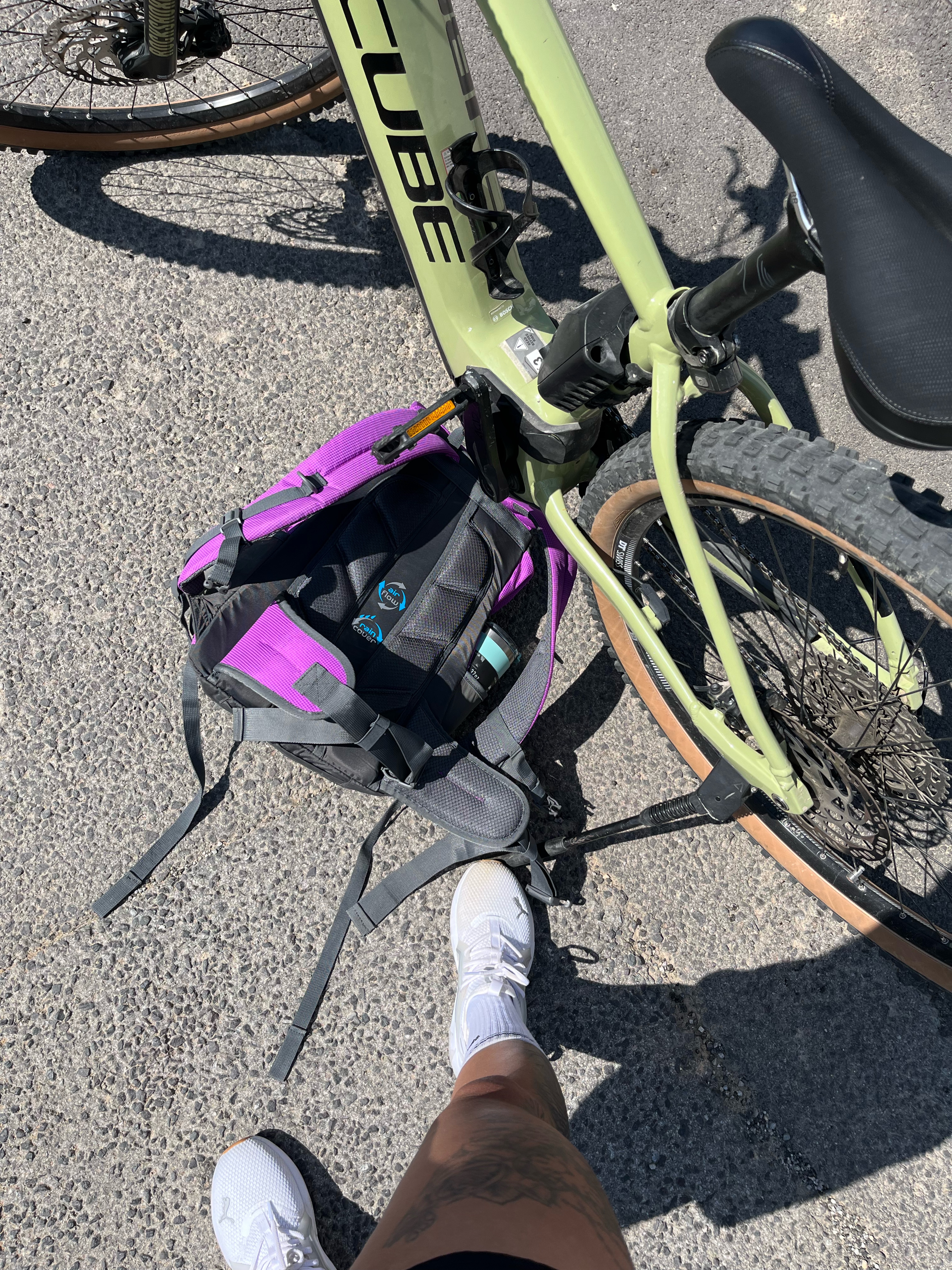
Route photos


Route quality
Waytypes & surfaces along the route
Waytypes
Quiet road
6.3 km
(34 %)
Track
3.5 km
(19 %)
Surfaces
Paved
2.6 km
(14 %)
Unpaved
3.7 km
(20 %)
Asphalt
2.6 km
(14 %)
Unpaved (undefined)
2.2 km
(12 %)
Continue with Bikemap
Use, edit, or download this cycling route
You would like to ride Pohronská Polhora - Braväcovo or customize it for your own trip? Here is what you can do with this Bikemap route:
Free features
- Save this route as favorite or in collections
- Copy & plan your own version of this route
- Sync your route with Garmin or Wahoo
Premium features
Free trial for 3 days, or one-time payment. More about Bikemap Premium.
- Navigate this route on iOS & Android
- Export a GPX / KML file of this route
- Create your custom printout (try it for free)
- Download this route for offline navigation
Discover more Premium features.
Get Bikemap PremiumFrom our community
Other popular routes starting in Čierny Balog
 Kút, Pohronská Polhora až Kút, Pohronská Polhora
- Distance
- 20.2 km
- Ascent
- 562 m
- Descent
- 542 m
- Location
- Čierny Balog, Banská Bystrica Region, Slovakia
 OSRBLIE Final
- Distance
- 43.4 km
- Ascent
- 1,056 m
- Descent
- 1,059 m
- Location
- Čierny Balog, Banská Bystrica Region, Slovakia
 Kút, Pohronská Polhora až Hronská, Závadka nad Hronom
- Distance
- 24.5 km
- Ascent
- 549 m
- Descent
- 558 m
- Location
- Čierny Balog, Banská Bystrica Region, Slovakia
 Polana_z_3vody-uprava1-spady
- Distance
- 51.4 km
- Ascent
- 1,037 m
- Descent
- 1,062 m
- Location
- Čierny Balog, Banská Bystrica Region, Slovakia
 Poľana - Sihla - Kokava nad Rimavicou - Hriňová - Sihla
- Distance
- 68.5 km
- Ascent
- 1,325 m
- Descent
- 1,325 m
- Location
- Čierny Balog, Banská Bystrica Region, Slovakia
 Nová, Čierny Balog až Nová, Čierny Balog
- Distance
- 105.8 km
- Ascent
- 3,391 m
- Descent
- 3,391 m
- Location
- Čierny Balog, Banská Bystrica Region, Slovakia
 Okruh Čierny Balog - Sihla cez Kysucu
- Distance
- 56.9 km
- Ascent
- 1,189 m
- Descent
- 1,189 m
- Location
- Čierny Balog, Banská Bystrica Region, Slovakia
 Čierny Balog - Detva
- Distance
- 45.7 km
- Ascent
- 705 m
- Descent
- 827 m
- Location
- Čierny Balog, Banská Bystrica Region, Slovakia
Open it in the app