trasmontaña 2011
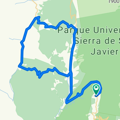
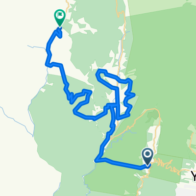
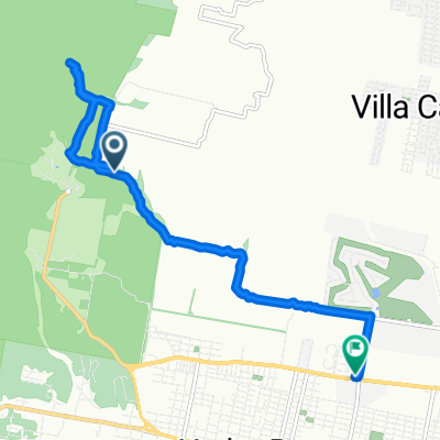
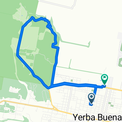
A cycling route starting in Yerba Buena, Tucumán Province, Argentina.
Overview
About this route
This is the route of the Rally Trasmontaña 2011 race.
- -:--
- Duration
- 43.5 km
- Distance
- 1,070 m
- Ascent
- 1,182 m
- Descent
- ---
- Avg. speed
- ---
- Max. altitude
Continue with Bikemap
Use, edit, or download this cycling route
You would like to ride trasmontaña 2011 or customize it for your own trip? Here is what you can do with this Bikemap route:
Free features
- Save this route as favorite or in collections
- Copy & plan your own version of this route
- Sync your route with Garmin or Wahoo
Premium features
Free trial for 3 days, or one-time payment. More about Bikemap Premium.
- Navigate this route on iOS & Android
- Export a GPX / KML file of this route
- Create your custom printout (try it for free)
- Download this route for offline navigation
Discover more Premium features.
Get Bikemap PremiumFrom our community
Other popular routes starting in Yerba Buena
- Trasmontaña 2011
- Distance
- 43.1 km
- Ascent
- 1,076 m
- Descent
- 1,179 m
- Location
- Yerba Buena, Tucumán Province, Argentina
- Ruta desde Roca J. A. 1301, Yerba Buena
- Distance
- 1.8 km
- Ascent
- 0 m
- Descent
- 23 m
- Location
- Yerba Buena, Tucumán Province, Argentina
- transmontaña 2011
- Distance
- 43 km
- Ascent
- 1,397 m
- Descent
- 1,501 m
- Location
- Yerba Buena, Tucumán Province, Argentina
- sala-siambon-portezuelo
- Distance
- 50.3 km
- Ascent
- 1,541 m
- Descent
- 1,539 m
- Location
- Yerba Buena, Tucumán Province, Argentina
- trasmontaña 2011
- Distance
- 43.5 km
- Ascent
- 1,070 m
- Descent
- 1,182 m
- Location
- Yerba Buena, Tucumán Province, Argentina
- De Tucumán a Avenida Juan Domingo Perón 1321, Yerba Buena
- Distance
- 10.4 km
- Ascent
- 62 m
- Descent
- 246 m
- Location
- Yerba Buena, Tucumán Province, Argentina
- transmontaña 2010
- Distance
- 45.4 km
- Ascent
- 996 m
- Descent
- 1,274 m
- Location
- Yerba Buena, Tucumán Province, Argentina
- Trepada a San Javier desde rotonda pié del cerro.
- Distance
- 9 km
- Ascent
- 885 m
- Descent
- 134 m
- Location
- Yerba Buena, Tucumán Province, Argentina
Open it in the app