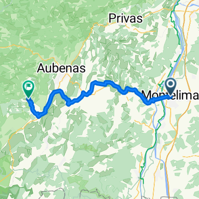
Montelimar (col Ardeche)
- 55.7 km
- 840 m
- 845 m
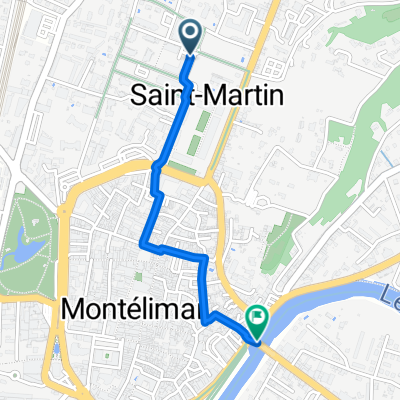
- Montélimar, Auvergne-Rhône-Alpes, France
A cycling route starting in Montélimar, Auvergne-Rhône-Alpes, France.
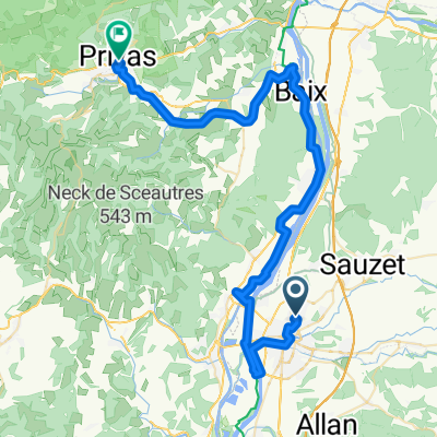
Overview
Easy stage to rest
created this 14 years ago
Route highlights


Continue with Bikemap
You would like to ride 13. Tag Saint Julien du Gua - Saint Nazaire en Royans or customize it for your own trip? Here is what you can do with this Bikemap route:
Free trial for 3 days, or one-time payment. More about Bikemap Premium.
Discover more Premium features.
Get Bikemap PremiumFrom our community
Open it in the app