

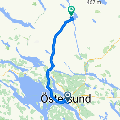
E43 C.Östersund - C.Strömsund
A cycling route starting in Östersund, Jämtland County, Sweden.
Overview
About this route
- -:--
- Duration
- 101.4 km
- Distance
- 3,499 m
- Ascent
- 3,551 m
- Descent
- ---
- Avg. speed
- 457 m
- Max. altitude

Continue with Bikemap
Use, edit, or download this cycling route
You would like to ride E43 C.Östersund - C.Strömsund or customize it for your own trip? Here is what you can do with this Bikemap route:
Free features
- Save this route as favorite or in collections
- Copy & plan your own version of this route
- Split it into stages to create a multi-day tour
- Sync your route with Garmin or Wahoo
Premium features
Free trial for 3 days, or one-time payment. More about Bikemap Premium.
- Navigate this route on iOS & Android
- Export a GPX / KML file of this route
- Create your custom printout (try it for free)
- Download this route for offline navigation
Discover more Premium features.
Get Bikemap PremiumFrom our community
Other popular routes starting in Östersund
 110es emelkedos
- Distance
- 110.9 km
- Ascent
- 1,506 m
- Descent
- 1,508 m
- Location
- Östersund, Jämtland County, Sweden
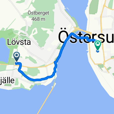 Blomstervägen 46, Frösön to Prästgatan 45, Östersund
- Distance
- 5.5 km
- Ascent
- 73 m
- Descent
- 62 m
- Location
- Östersund, Jämtland County, Sweden
 Östersund - Jokkmokk 654
- Distance
- 654.1 km
- Ascent
- 0 m
- Descent
- 0 m
- Location
- Östersund, Jämtland County, Sweden
 E43 C.Östersund - C.Strömsund
- Distance
- 101.4 km
- Ascent
- 3,499 m
- Descent
- 3,551 m
- Location
- Östersund, Jämtland County, Sweden
 Inlandsbanan(1)
- Distance
- 766 km
- Ascent
- 0 m
- Descent
- 0 m
- Location
- Östersund, Jämtland County, Sweden
 Mot Åre
- Distance
- 111.6 km
- Ascent
- 602 m
- Descent
- 550 m
- Location
- Östersund, Jämtland County, Sweden
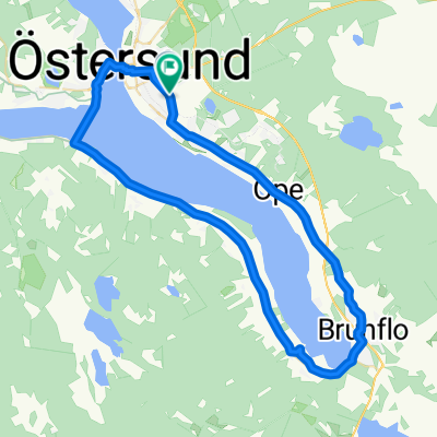 brunflo fele
- Distance
- 38.5 km
- Ascent
- 181 m
- Descent
- 181 m
- Location
- Östersund, Jämtland County, Sweden
 160714 ostersund-sanddvikssjon
- Distance
- 71.7 km
- Ascent
- 0 m
- Descent
- 0 m
- Location
- Östersund, Jämtland County, Sweden
Open it in the app