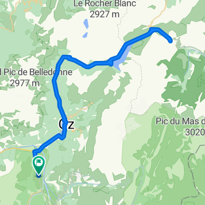
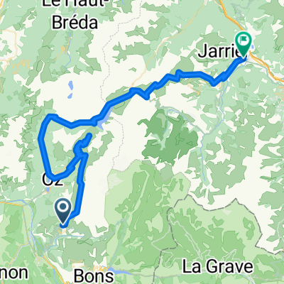
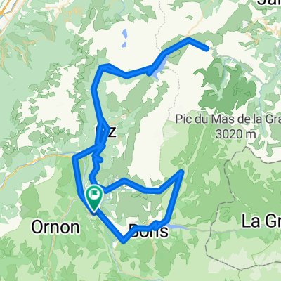
alpes-2012 Allemont-croix de fer-glandon
A cycling route starting in Huez, Auvergne-Rh么ne-Alpes, France.
Overview
About this route
Eixia d'Allemont, a wonderful little village. Climb to Croix de Fer 28km and descent to Saint Jean de Morienne on the other side. Climb via Glandon (20km terrible) and return to Allemont. Notable are the last 3 km of Glandon at 10.5 - 11 %.
- -:--
- Duration
- 117.7 km
- Distance
- 3,000 m
- Ascent
- 3,000 m
- Descent
- ---
- Avg. speed
- ---
- Max. altitude
Route quality
Waytypes & surfaces along the route
Waytypes
Road
1.2 km
(1 %)
Quiet road
1.2 km
(1 %)
Undefined
115.3 km
(98 %)
Surfaces
Paved
49.4 km
(42 %)
Asphalt
49.4 km
(42 %)
Undefined
68.2 km
(58 %)
Route highlights
Points of interest along the route
Point of interest after 29.7 km
Col de la Croix de Fer
Point of interest after 90.4 km
Col du Glandon (20 km, 3 煤ltims al 11%)
Continue with Bikemap
Use, edit, or download this cycling route
You would like to ride alpes-2012 Allemont-croix de fer-glandon or customize it for your own trip? Here is what you can do with this Bikemap route:
Free features
- Save this route as favorite or in collections
- Copy & plan your own version of this route
- Split it into stages to create a multi-day tour
- Sync your route with Garmin or Wahoo
Premium features
Free trial for 3 days, or one-time payment. More about Bikemap Premium.
- Navigate this route on iOS & Android
- Export a GPX / KML file of this route
- Create your custom printout (try it for free)
- Download this route for offline navigation
Discover more Premium features.
Get Bikemap PremiumFrom our community
Other popular routes starting in Huez
Up and around Alp d'Huez- Distance
- 69.6 km
- Ascent
- 2,250 m
- Descent
- 2,246 m
- Location
- Huez, Auvergne-Rh么ne-Alpes, France
Sarenne- Distance
- 69.2 km
- Ascent
- 1,788 m
- Descent
- 1,788 m
- Location
- Huez, Auvergne-Rh么ne-Alpes, France
L'Alpe d'Huez- Distance
- 60.3 km
- Ascent
- 1,850 m
- Descent
- 1,850 m
- Location
- Huez, Auvergne-Rh么ne-Alpes, France
Tour du plateau matheysin par laffrey- Distance
- 97.9 km
- Ascent
- 1,505 m
- Descent
- 1,505 m
- Location
- Huez, Auvergne-Rh么ne-Alpes, France
alpes-2012 Allemont-croix de fer-glandon- Distance
- 117.7 km
- Ascent
- 3,000 m
- Descent
- 3,000 m
- Location
- Huez, Auvergne-Rh么ne-Alpes, France
Transalpine (14) Allemond - Grenoble- Distance
- 116.3 km
- Ascent
- 2,482 m
- Descent
- 2,907 m
- Location
- Huez, Auvergne-Rh么ne-Alpes, France
Alpe d-Huez boucle- Distance
- 48.9 km
- Ascent
- 1,639 m
- Descent
- 1,714 m
- Location
- Huez, Auvergne-Rh么ne-Alpes, France
Francia_2018_3- Distance
- 114.7 km
- Ascent
- 2,275 m
- Descent
- 1,927 m
- Location
- Huez, Auvergne-Rh么ne-Alpes, France
Open it in the app

