

Forsthaus-Route
A cycling route starting in Michelau, Bavaria, Germany.
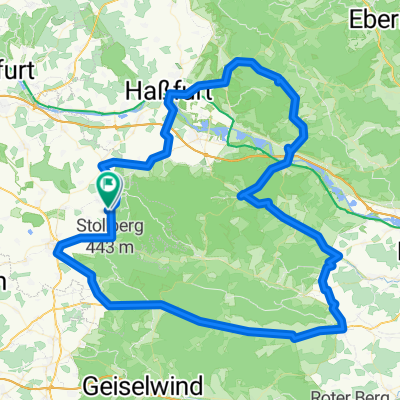
Overview
About this route
Schmerb, Obersteinach und Winkelhof sind kleine Weiler mit je einen Forsthaus. Die Tour verläuft überwiegend auf befestigten Waldwegen oder sogar geteerten Straßen, ist für den Normalradler keine große Anstrengung und führt an sehenswerten Stellen im Steigerwald vorbei.
- -:--
- Duration
- 30.6 km
- Distance
- 451 m
- Ascent
- 451 m
- Descent
- ---
- Avg. speed
- ---
- Max. altitude
Route quality
Waytypes & surfaces along the route
Waytypes
Track
23.2 km
(76 %)
Road
3.3 km
(11 %)
Surfaces
Paved
4.8 km
(16 %)
Unpaved
20.5 km
(67 %)
Gravel
19.2 km
(63 %)
Asphalt
3.8 km
(12 %)
Continue with Bikemap
Use, edit, or download this cycling route
You would like to ride Forsthaus-Route or customize it for your own trip? Here is what you can do with this Bikemap route:
Free features
- Save this route as favorite or in collections
- Copy & plan your own version of this route
- Sync your route with Garmin or Wahoo
Premium features
Free trial for 3 days, or one-time payment. More about Bikemap Premium.
- Navigate this route on iOS & Android
- Export a GPX / KML file of this route
- Create your custom printout (try it for free)
- Download this route for offline navigation
Discover more Premium features.
Get Bikemap PremiumFrom our community
Other popular routes starting in Michelau
 Haßfurt - Gerolzhofen - Ebrach - Ebelsbach und zurück
- Distance
- 114.9 km
- Ascent
- 748 m
- Descent
- 763 m
- Location
- Michelau, Bavaria, Germany
 D_Bayern_Neuhausen-Heinachshof-Zabelstein-Falkenstein-Geusfelderweg-(MichelauImSteigerwald)_RR-18km-400hm
- Distance
- 18.1 km
- Ascent
- 406 m
- Descent
- 396 m
- Location
- Michelau, Bavaria, Germany
 Hundelshausen, Ebrach und Zurück
- Distance
- 29.3 km
- Ascent
- 454 m
- Descent
- 454 m
- Location
- Michelau, Bavaria, Germany
 von Geusfeld zum Schlangenweg und zurück
- Distance
- 35 km
- Ascent
- 557 m
- Descent
- 546 m
- Location
- Michelau, Bavaria, Germany
 Geusfeld Volkach Würzburg und zurück
- Distance
- 100.4 km
- Ascent
- 433 m
- Descent
- 433 m
- Location
- Michelau, Bavaria, Germany
 Route von Dorfstraße 12, Rauhenebrach
- Distance
- 84.6 km
- Ascent
- 1,157 m
- Descent
- 658 m
- Location
- Michelau, Bavaria, Germany
 Geusfeld- Schlangenweg- Neuhaus- Zabelstein
- Distance
- 36.5 km
- Ascent
- 495 m
- Descent
- 494 m
- Location
- Michelau, Bavaria, Germany
 Forsthaus-Route
- Distance
- 30.6 km
- Ascent
- 451 m
- Descent
- 451 m
- Location
- Michelau, Bavaria, Germany
Open it in the app