

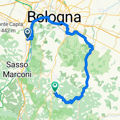
Zola Predosa - Rioveggio - Valle - Monzuno - Zola Predosa
A cycling route starting in Casalecchio di Reno, Emilia-Romagna, Italy.
Overview
About this route
- -:--
- Duration
- 82.1 km
- Distance
- 653 m
- Ascent
- 653 m
- Descent
- ---
- Avg. speed
- ---
- Max. altitude

Route quality
Waytypes & surfaces along the route
Waytypes
Quiet road
14.8 km
(18 %)
Cycleway
5.7 km
(7 %)
Surfaces
Paved
68.1 km
(83 %)
Asphalt
68.1 km
(83 %)
Undefined
14 km
(17 %)
Route highlights
Points of interest along the route
Point of interest after 78.5 km
Continue with Bikemap
Use, edit, or download this cycling route
You would like to ride Zola Predosa - Rioveggio - Valle - Monzuno - Zola Predosa or customize it for your own trip? Here is what you can do with this Bikemap route:
Free features
- Save this route as favorite or in collections
- Copy & plan your own version of this route
- Split it into stages to create a multi-day tour
- Sync your route with Garmin or Wahoo
Premium features
Free trial for 3 days, or one-time payment. More about Bikemap Premium.
- Navigate this route on iOS & Android
- Export a GPX / KML file of this route
- Create your custom printout (try it for free)
- Download this route for offline navigation
Discover more Premium features.
Get Bikemap PremiumFrom our community
Other popular routes starting in Casalecchio di Reno
 pizzicavo
- Distance
- 46.9 km
- Ascent
- 850 m
- Descent
- 633 m
- Location
- Casalecchio di Reno, Emilia-Romagna, Italy
 Zola Predosa - Rioveggio - Valle - Monzuno - Zola Predosa
- Distance
- 82.1 km
- Ascent
- 653 m
- Descent
- 653 m
- Location
- Casalecchio di Reno, Emilia-Romagna, Italy
 Ciclopista del Sole (eurovelo 7) - detour via Caselecchio di Reno
- Distance
- 3.5 km
- Ascent
- 14 m
- Descent
- 25 m
- Location
- Casalecchio di Reno, Emilia-Romagna, Italy
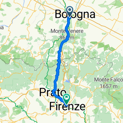 alternative bologna - florence
- Distance
- 110.6 km
- Ascent
- 820 m
- Descent
- 839 m
- Location
- Casalecchio di Reno, Emilia-Romagna, Italy
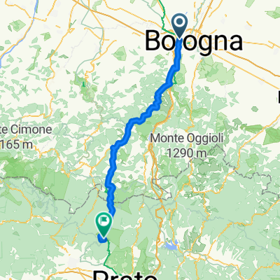 Von Bologna bis Montale
- Distance
- 86.1 km
- Ascent
- 2,691 m
- Descent
- 1,800 m
- Location
- Casalecchio di Reno, Emilia-Romagna, Italy
 BO-Montelungo-Brento-Sasso Marconi-BO
- Distance
- 61.6 km
- Ascent
- 876 m
- Descent
- 876 m
- Location
- Casalecchio di Reno, Emilia-Romagna, Italy
 Bregoli: Ascesa agli infer
- Distance
- 1.1 km
- Ascent
- 145 m
- Descent
- 23 m
- Location
- Casalecchio di Reno, Emilia-Romagna, Italy
 Da Via Ronzani a Via F. Chiappini
- Distance
- 54.5 km
- Ascent
- 92 m
- Descent
- 119 m
- Location
- Casalecchio di Reno, Emilia-Romagna, Italy
Open it in the app