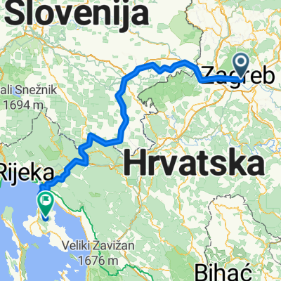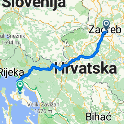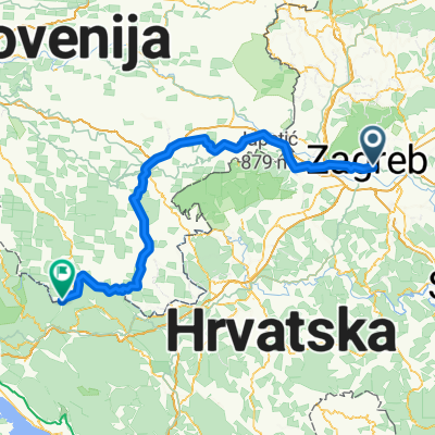
Zagreb - Centar - Črnomelj
- 161.6 km
- 2,062 m
- 1,951 m
- Donji grad, City of Zagreb, Croatia
A cycling route starting in Donji grad, City of Zagreb, Croatia.
Overview
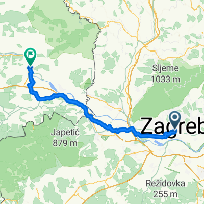
MTB ride on Medvednica, transverzalaaaaa !!! Duration: 5-8 hours Necessary endurance and orientation, riding at your own risk. Groups are formed independently on-site as suits you, no waiting, everyone is responsible for themselves and needs to know how to descend from Medvednica (hint: moss grows on the north side of the tree, aim for the south...). Bring warm clothes for changes if necessary (at least a dry baselayer, a dry cap), a fully charged mobile phone, a lamp if you get caught in the dark, something to eat (banana, fruit bars), water or isotonic drink, mini tool, repair kit, mini pump, and some snacks for refreshments at the mountain lodge. You don't have to ride the entire route, according to your abilities. The top riders go to Gorščica while the super top riders continue to the PD Lipa hut. HELMET REQUIRED !! Price: 0kn Start at 09:00 under the clock in Črnomerec.
created this 3 years ago
Route quality
Path
14.6 km
(35 %)
Pedestrian area
10.8 km
(26 %)
Paved
9.6 km
(23 %)
Unpaved
16.2 km
(39 %)
Ground
14.1 km
(34 %)
Asphalt
9.6 km
(23 %)
Continue with Bikemap
You would like to ride Transciklusiranje 2022 (Podsused PD Lipa) by BK Ciklus Zagreb or customize it for your own trip? Here is what you can do with this Bikemap route:
Free trial for 3 days, or one-time payment. More about Bikemap Premium.
Discover more Premium features.
Get Bikemap PremiumFrom our community
Open it in the app