

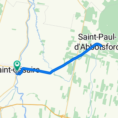
St-Cesaire Magog (Omerville)
A cycling route starting in Saint-Césaire, Quebec, Canada.
Overview
About this route
.A good way to reach Mont-Orford-Magog and my cousins.
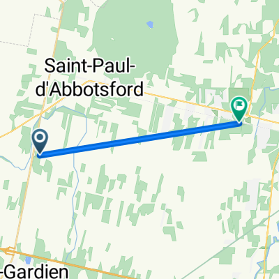
St- Cesaire offer a shaded Parking, Water, Restrooms, maps info during summertime. There a nice paved trail bike between St-Cesaire and Granby.Also An option for country roads though Cowie. Have an overview on Boivin Lake . Nice bicycle store around (go to 2nd floor)Later after Waterloo there is an option to explore the back road in Stuckely and Eastmain ,nice climb progressive and scenic on Dilligence road.Unfortunately ancient road is not continuing no problem going back on112 for one of the nicest view and rest area along Orford lake is rewarding.Picture?, . A lot of nice cafes and restaurants , especially in Magog! You could swim in Memphre Lake. The return is easier with 200 meters elevation.
- -:--
- Duration
- 78.6 km
- Distance
- 502 m
- Ascent
- 324 m
- Descent
- ---
- Avg. speed
- ---
- Max. altitude

Route quality
Waytypes & surfaces along the route
Waytypes
Road
29.1 km
(37 %)
Quiet road
5.5 km
(7 %)
Surfaces
Paved
51.1 km
(65 %)
Unpaved
1.6 km
(2 %)
Asphalt
29.1 km
(37 %)
Paved (undefined)
22 km
(28 %)
Route highlights
Points of interest along the route
Photo after 0.4 km
Point of interest after 0.7 km
Point of interest after 78.6 km
Chez Martine et Eric
Continue with Bikemap
Use, edit, or download this cycling route
You would like to ride St-Cesaire Magog (Omerville) or customize it for your own trip? Here is what you can do with this Bikemap route:
Free features
- Save this route as favorite or in collections
- Copy & plan your own version of this route
- Sync your route with Garmin or Wahoo
Premium features
Free trial for 3 days, or one-time payment. More about Bikemap Premium.
- Navigate this route on iOS & Android
- Export a GPX / KML file of this route
- Create your custom printout (try it for free)
- Download this route for offline navigation
Discover more Premium features.
Get Bikemap PremiumFrom our community
Other popular routes starting in Saint-Césaire
 St-Cesaire Magog (Omerville)
- Distance
- 78.6 km
- Ascent
- 502 m
- Descent
- 324 m
- Location
- Saint-Césaire, Quebec, Canada
 De 127 Rang du Haut-de-la-Rivière S, Saint-Césaire à 901 Rue Principale, Granby
- Distance
- 22.4 km
- Ascent
- 565 m
- Descent
- 486 m
- Location
- Saint-Césaire, Quebec, Canada
 De 1460 Rue Notre-Dame, St-Césaire à 1372 Rue Notre-Dame, St-Césaire
- Distance
- 22.1 km
- Ascent
- 52 m
- Descent
- 49 m
- Location
- Saint-Césaire, Quebec, Canada
 st-césaire, tour du mont rougemont
- Distance
- 69.4 km
- Ascent
- 51 m
- Descent
- 52 m
- Location
- Saint-Césaire, Quebec, Canada
 Saint-Césaire à Granby, aller-retour
- Distance
- 67.3 km
- Ascent
- 204 m
- Descent
- 206 m
- Location
- Saint-Césaire, Quebec, Canada
 Route to Granby
- Distance
- 10.1 km
- Ascent
- 27 m
- Descent
- 0 m
- Location
- Saint-Césaire, Quebec, Canada
 st-césaire, tour du mont rougemont
- Distance
- 69.4 km
- Ascent
- 63 m
- Descent
- 65 m
- Location
- Saint-Césaire, Quebec, Canada
 rougemont
- Distance
- 49.1 km
- Ascent
- 130 m
- Descent
- 78 m
- Location
- Saint-Césaire, Quebec, Canada
Open it in the app