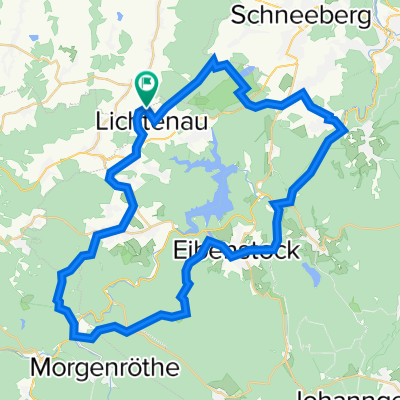
1.Etappe 2023 Stützengrün - Wünschendorf
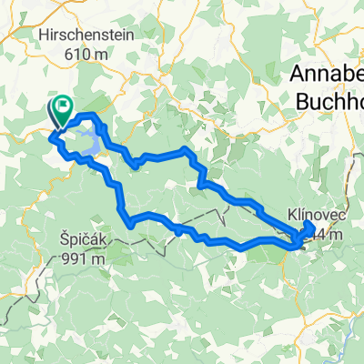
A cycling route starting in Stützengrün, Saxony, Germany.
Overview
About this route
- -:--
- Duration
- 61.5 km
- Distance
- 726 m
- Ascent
- 1,129 m
- Descent
- ---
- Avg. speed
- 630 m
- Max. altitude
Route quality
Waytypes & surfaces along the route
Waytypes
Track
13.5 km
(22 %)
Road
10.5 km
(17 %)
Surfaces
Paved
35.7 km
(58 %)
Unpaved
18.5 km
(30 %)
Asphalt
35.7 km
(58 %)
Gravel
11.1 km
(18 %)
Continue with Bikemap
Use, edit, or download this cycling route
You would like to ride 1.Etappe 2023 Stützengrün - Wünschendorf or customize it for your own trip? Here is what you can do with this Bikemap route:
Free features
- Save this route as favorite or in collections
- Copy & plan your own version of this route
- Sync your route with Garmin or Wahoo
Premium features
Free trial for 3 days, or one-time payment. More about Bikemap Premium.
- Navigate this route on iOS & Android
- Export a GPX / KML file of this route
- Create your custom printout (try it for free)
- Download this route for offline navigation
Discover more Premium features.
Get Bikemap PremiumFrom our community
Other popular routes starting in Stützengrün
Crinitzberg - Talsperre Eibenstock und zurück- Distance
- 40.8 km
- Ascent
- 412 m
- Descent
- 413 m
- Location
- Stützengrün, Saxony, Germany
Feldstraße, Stützengrün nach Untere Zobelgasse 17, Schneeberg- Distance
- 11.1 km
- Ascent
- 64 m
- Descent
- 245 m
- Location
- Stützengrün, Saxony, Germany
Männertag 2017- Distance
- 46.1 km
- Ascent
- 366 m
- Descent
- 366 m
- Location
- Stützengrün, Saxony, Germany
Steinberg- Distance
- 17.7 km
- Ascent
- 388 m
- Descent
- 388 m
- Location
- Stützengrün, Saxony, Germany
Morgenröthe Muldeweg- Distance
- 50.8 km
- Ascent
- 718 m
- Descent
- 717 m
- Location
- Stützengrün, Saxony, Germany
Hauptstraße 59, Steinberg to Theatergasse 1, Steinberg- Distance
- 10.2 km
- Ascent
- 74 m
- Descent
- 149 m
- Location
- Stützengrün, Saxony, Germany
Marienweg, Stützengrün nach Alte Poststraße, Stützengrün- Distance
- 31.1 km
- Ascent
- 330 m
- Descent
- 374 m
- Location
- Stützengrün, Saxony, Germany
Auerbacher Waldrundtour- Distance
- 52.5 km
- Ascent
- 792 m
- Descent
- 792 m
- Location
- Stützengrün, Saxony, Germany
Open it in the app


