rougemont
- 49.1 km
- 130 m
- 78 m
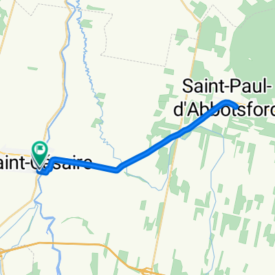
- Saint-Césaire, Quebec, Canada
A cycling route starting in Saint-Césaire, Quebec, Canada.
Overview
St- Cesaire :Parking, Water, Restrooms, maps info during summertime. There a nice paved trail bike between St-Cesaire and Granby.A good way to reach Mont-Orford-Magog and my cousins! A lot of nice cafes and restaurants , especially in Magog! You could swiw in the Lake Memphre.
created this 14 years ago
Route quality
Road
28.1 km
(34 %)
Quiet road
10.7 km
(13 %)
Paved
52 km
(63 %)
Unpaved
6.6 km
(8 %)
Asphalt
31.4 km
(38 %)
Paved (undefined)
20.6 km
(25 %)
Continue with Bikemap
You would like to ride St-Cesaire Magog (Omerville) . or customize it for your own trip? Here is what you can do with this Bikemap route:
Free trial for 3 days, or one-time payment. More about Bikemap Premium.
Discover more Premium features.
Get Bikemap PremiumFrom our community
Open it in the app