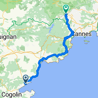
ancien Pin Train
A cycling route starting in Sainte-Maxime, Provence-Alpes-C么te d'Azur Region, France.
Overview
About this route
- 53 min
- Duration
- 13.6 km
- Distance
- 141 m
- Ascent
- 128 m
- Descent
- 15.4 km/h
- Avg. speed
- 47 m
- Max. altitude
Route quality
Waytypes & surfaces along the route
Waytypes
Quiet road
5.9 km
(43 %)
Path
2.6 km
(19 %)
Surfaces
Paved
11.4 km
(84 %)
Unpaved
1.1 km
(8 %)
Asphalt
11.4 km
(84 %)
Gravel
1 km
(7 %)
Continue with Bikemap
Use, edit, or download this cycling route
You would like to ride ancien Pin Train or customize it for your own trip? Here is what you can do with this Bikemap route:
Free features
- Save this route as favorite or in collections
- Copy & plan your own version of this route
- Sync your route with Garmin or Wahoo
Premium features
Free trial for 3 days, or one-time payment. More about Bikemap Premium.
- Navigate this route on iOS & Android
- Export a GPX / KML file of this route
- Create your custom printout (try it for free)
- Download this route for offline navigation
Discover more Premium features.
Get Bikemap PremiumFrom our community
Other popular routes starting in Sainte-Maxime
Sainte-Maxime- Distance
- 46.2 km
- Ascent
- 542 m
- Descent
- 542 m
- Location
- Sainte-Maxime, Provence-Alpes-C么te d'Azur Region, France
Port Grimaud nach Lavandou- Distance
- 93 km
- Ascent
- 1,656 m
- Descent
- 1,730 m
- Location
- Sainte-Maxime, Provence-Alpes-C么te d'Azur Region, France
ancien Pin Train- Distance
- 13.6 km
- Ascent
- 141 m
- Descent
- 128 m
- Location
- Sainte-Maxime, Provence-Alpes-C么te d'Azur Region, France
Route La Bouviere 眉ber Les Arcs nach Port Grimaud- Distance
- 100.4 km
- Ascent
- 1,141 m
- Descent
- 1,214 m
- Location
- Sainte-Maxime, Provence-Alpes-C么te d'Azur Region, France
5 mile route- Distance
- 8.2 km
- Ascent
- 45 m
- Descent
- 46 m
- Location
- Sainte-Maxime, Provence-Alpes-C么te d'Azur Region, France
Sainte-Maxime Roquebrune Sainte-Maxime- Distance
- 61.7 km
- Ascent
- 736 m
- Descent
- 738 m
- Location
- Sainte-Maxime, Provence-Alpes-C么te d'Azur Region, France
arri猫re pays- Distance
- 62.6 km
- Ascent
- 461 m
- Descent
- 449 m
- Location
- Sainte-Maxime, Provence-Alpes-C么te d'Azur Region, France
Draguignan - Grasse- Distance
- 76.9 km
- Ascent
- 1,936 m
- Descent
- 1,713 m
- Location
- Sainte-Maxime, Provence-Alpes-C么te d'Azur Region, France
Open it in the app

